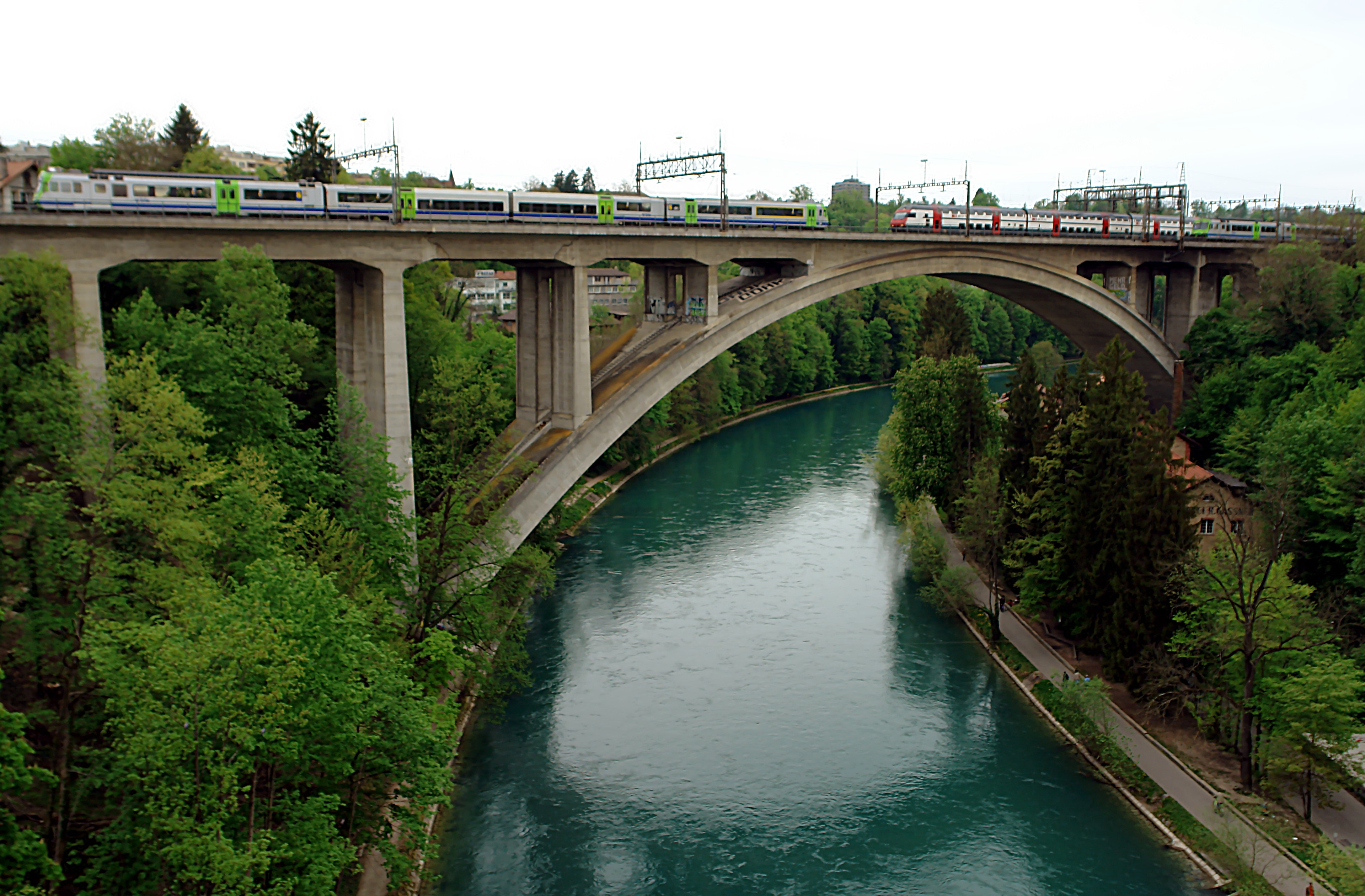
Photo corners
Lorraine railway viaduct
Bern, Switzerland
The Lorraine railway viaduct, or Lorraineviadukt, is a railway viaduct in the Swiss city of Bern. It carries the Olten–Bern railway across the River Aare immediately to the north of Bern railway station. The Lorraine road bridge is adjacent. The bridge was built in concrete by the Swiss Federal Railways to replace the aging Rote Brücke and opened in 1941. It is 1,092 metres (3,583 ft) in length and was the longest four-track railway viaduct in Europe at the time of construction.
- Category
- Photo Spots
- Location
- Bern, Switzerland
- Coordinates
- 46.95389, 7.44194
- How to get there
- Google MapsApple MapsOpenStreetMap
- Wikidata
- Q1870402
What is Lorraine railway viaduct?
Lorraine railway viaduct is a Photo Spots place on VeroMaps. Other places close by: Lorraine Bridge, Ryfflibrunnen, Main building of the University of Berne, University of Bern, Mittelstrasse University.
Where is Lorraine railway viaduct?
Lorraine railway viaduct is in Bern, Switzerland. Coordinates: 46.95389, 7.44194.
How do I get to Lorraine railway viaduct?
Lorraine railway viaduct is at Bern, Switzerland (46.95389, 7.44194). Enter these coordinates in Google Maps, Apple Maps or OpenStreetMap for walking, cycling or driving directions.