Forgotten History
Château de Rougemont
Rougemont-le-Chateau, France
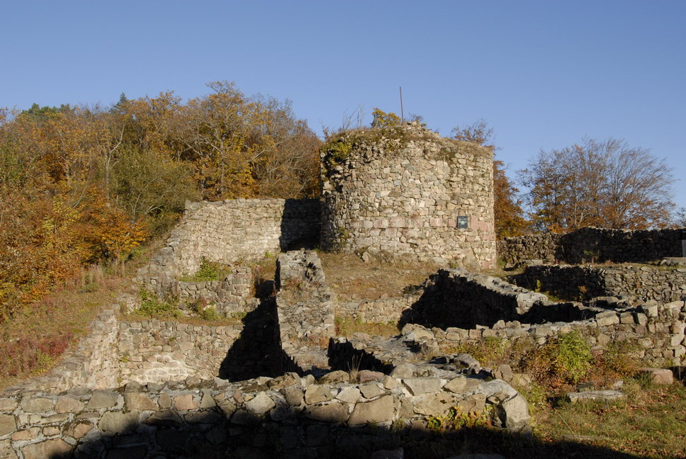
The Château de Rougemont is a ruined 12th-century castle in the commune of Rougemont-le-Château in the Territoire de Belfort département of France.
- Category
- Forgotten History
- Location
- Rougemont-le-Chateau, France
- Coordinates
- 47.74794, 6.96684
- How to get there
- Google MapsApple MapsOpenStreetMap
- Wikidata
- Q2142824
What is Château de Rougemont?
Château de Rougemont is a Forgotten History place on VeroMaps. Other places close by: gallo-roman temple of Offemont, Château du Herrenfluh, Puits Joseph-Else, Copper mine at Le Thillot.
Where is Château de Rougemont?
Château de Rougemont is in Rougemont-le-Chateau, France. Coordinates: 47.74794, 6.96684.
How do I get to Château de Rougemont?
Château de Rougemont is at Rougemont-le-Chateau, France (47.74794, 6.96684). Enter these coordinates in Google Maps, Apple Maps or OpenStreetMap for walking, cycling or driving directions.