Forgotten History
Britzgyberg oppidum
Illfurth, France
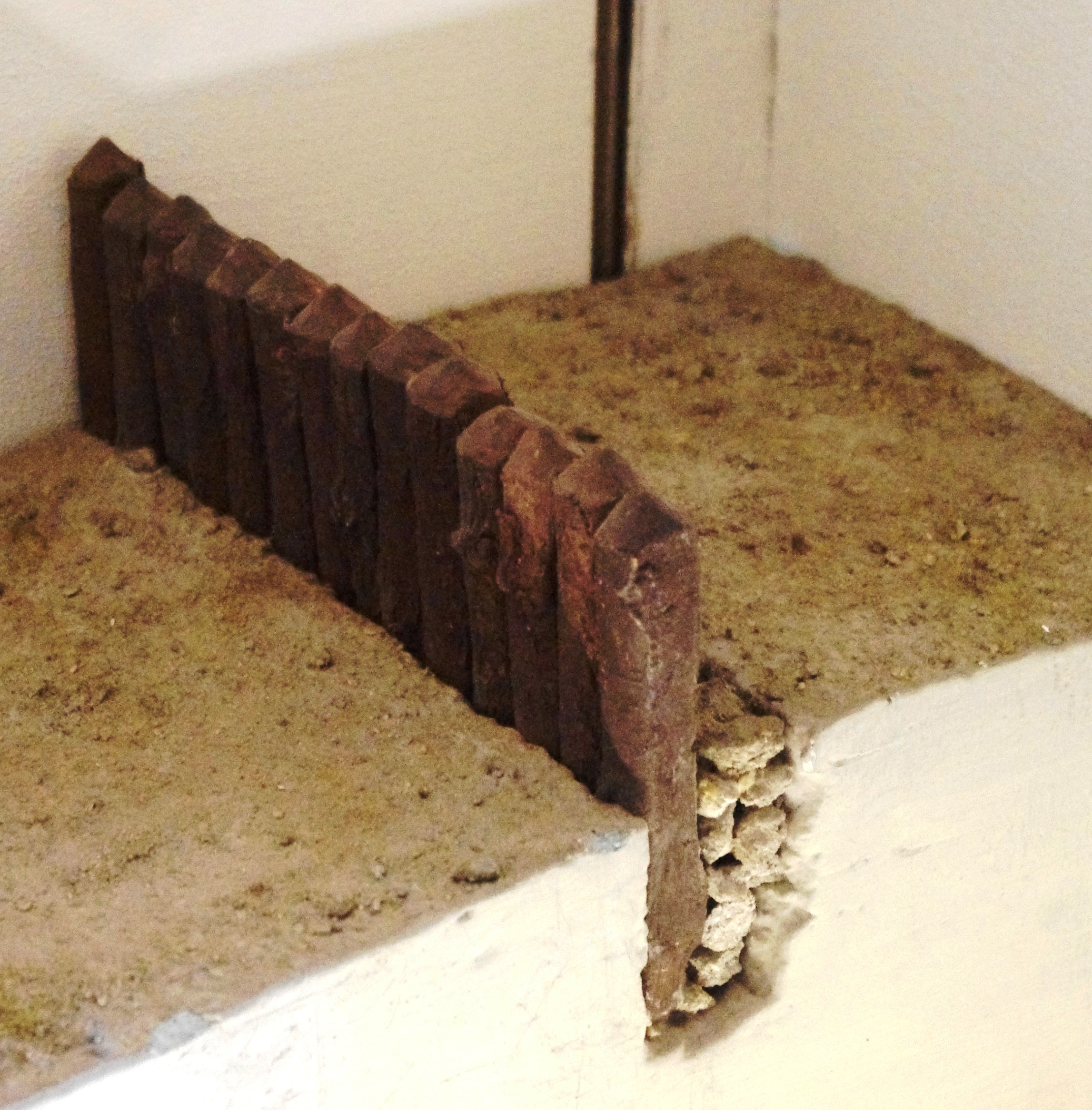
Die Mauer auf dem Britzgyberg (französisch Enceinte protohistorique de Britzgyberg - auch als Oppidum bezeichnet) ist ein keltisches Bauwerk nordöstlich von Illfurth im Département Haut-Rhin im Elsass in Frankreich.
- Category
- Forgotten History
- Location
- Illfurth, France
- Coordinates
- 47.67400, 7.27280
- How to get there
- Google MapsApple MapsOpenStreetMap
- Wikidata
- Q14627810
What is Britzgyberg oppidum?
Britzgyberg oppidum is a Forgotten History place on VeroMaps. Other places close by: Belvédère tower, Émetteur de Mulhouse, Hôtel de ville de Mulhouse, Puits Joseph-Else.
Where is Britzgyberg oppidum?
Britzgyberg oppidum is in Illfurth, France. Coordinates: 47.67400, 7.27280.
How do I get to Britzgyberg oppidum?
Britzgyberg oppidum is at Illfurth, France (47.67400, 7.27280). Enter these coordinates in Google Maps, Apple Maps or OpenStreetMap for walking, cycling or driving directions.