Forgotten History
Château de Landreville
Stenay, France
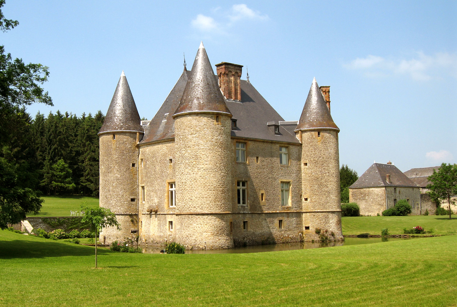
Landreville Castle (French: Château de Landreville) is a castle situated in the commune of Bayonville in the Ardennes département of France. Within the territory of a 12th-century châtelain, the castle was built in the early 13th century and remodelled in the middle of the 16th century. The Château de Landreville, situated in the Argonne Ardennaise region, is a rectangular "maison forte" (strong house) flanked by four cylindrical towers with 'pepper-pot' roofs, surrounded by water-filled moats, with a six hectares park, stables and two pavilions. The castle has been classified as a monument historique by the French Ministry of Culture since 2006. It is a rare example of a still practically intact manorial residence of the pre-Renaissance Ardennes region. In 800 years of history it has witnessed the lives of many families, including the Landrevilles, Grandprés, Chennerys, Beauvais, Maillarts, Meixmorons. The portrait of Claude François de Maillart, lord and marquis de Landreville, was painted by Nicolas de Largillière around 1735.
- Category
- Forgotten History
- Location
- Stenay, France
- Coordinates
- 49.37861, 5.00889
- How to get there
- Google MapsApple MapsOpenStreetMap
- Wikidata
- Q2969647
What is Château de Landreville?
Château de Landreville is a Forgotten History place on VeroMaps. Other places close by: Château de Marcq, Château de Cornay, Arboretum du Petit-Bois, Cumières-le-Mort-Homme.
Where is Château de Landreville?
Château de Landreville is in Stenay, France. Coordinates: 49.37861, 5.00889.
How do I get to Château de Landreville?
Château de Landreville is at Stenay, France (49.37861, 5.00889). Enter these coordinates in Google Maps, Apple Maps or OpenStreetMap for walking, cycling or driving directions.