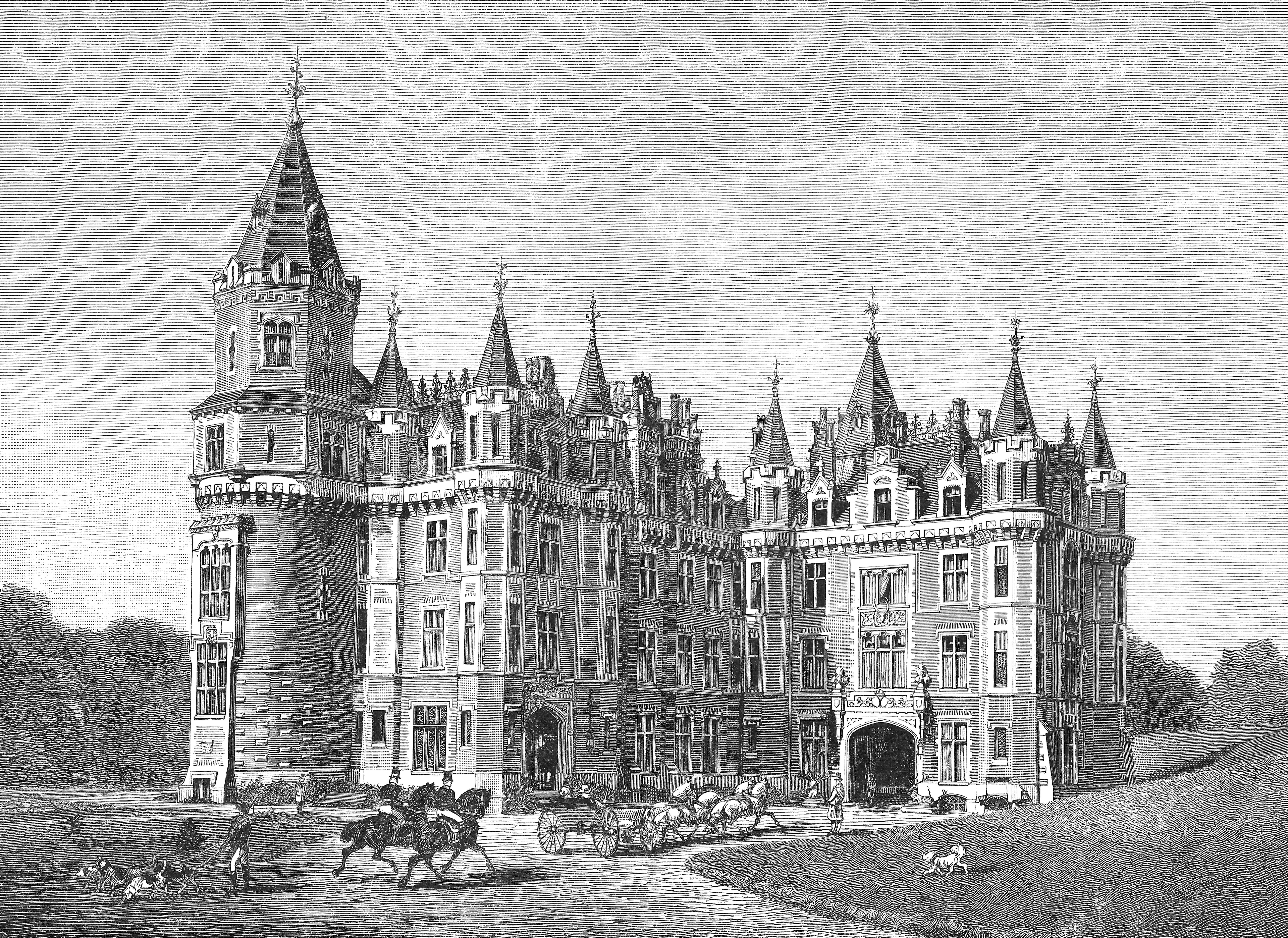
Forgotten History
Chateau des Amerois
Bouillon, Belgium
The Château des Amerois (French pronunciation: [ʃɑto dez‿amʁwa]) is a 19th-century neo-Gothic style château in the Ardennes forest, south-east of Bouillon, Wallonia, Belgium. Replacing an original building destroyed by fire, the current château was built from 1874 to 1877 for Prince Philippe, Count of Flanders.
- Category
- Forgotten History
- Location
- Bouillon, Belgium
- Coordinates
- 49.74845, 5.15109
- How to get there
- Google MapsApple MapsOpenStreetMap
- Wikidata
- Q18433789
What is Chateau des Amerois?
Chateau des Amerois is a Forgotten History place on VeroMaps. Other places close by: Château d'Herbeumont, Conques Priory, Bouillon Castle, Arboretum de Matton-Clémency.
Where is Chateau des Amerois?
Chateau des Amerois is in Bouillon, Belgium. Coordinates: 49.74845, 5.15109.
How do I get to Chateau des Amerois?
Chateau des Amerois is at Bouillon, Belgium (49.74845, 5.15109). Enter these coordinates in Google Maps, Apple Maps or OpenStreetMap for walking, cycling or driving directions.