Photo corners
Cévennes National Park
Meyrueis, France
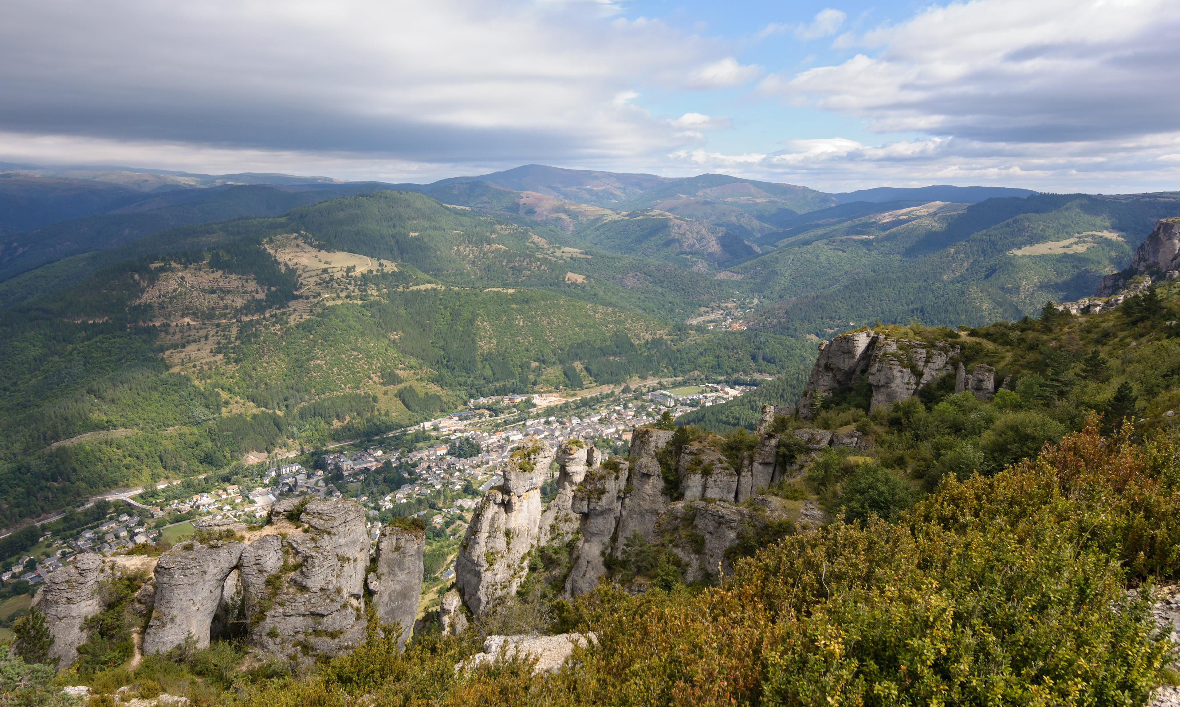
Cévennes National Park (French: Parc national des Cévennes) is a French national park located in Southern France, in the mountainous area of Cévennes. Created in 1970, the park has its administrative seat in Florac at Florac Castle.
- Category
- Photo Spots
- Location
- Meyrueis, France
- Coordinates
- 44.20000, 3.40000
- How to get there
- Google MapsApple MapsOpenStreetMap
- Wikidata
- Q1368807
What is Cévennes National Park?
Cévennes National Park is a Photo Spots place on VeroMaps. Other places close by: Château d'Ayres, dolmen de la Serre Gaoujac, dolmens de Drigas, Arboretum de la Foux.
Where is Cévennes National Park?
Cévennes National Park is in Meyrueis, France. Coordinates: 44.20000, 3.40000.
How do I get to Cévennes National Park?
Cévennes National Park is at Meyrueis, France (44.20000, 3.40000). Enter these coordinates in Google Maps, Apple Maps or OpenStreetMap for walking, cycling or driving directions.