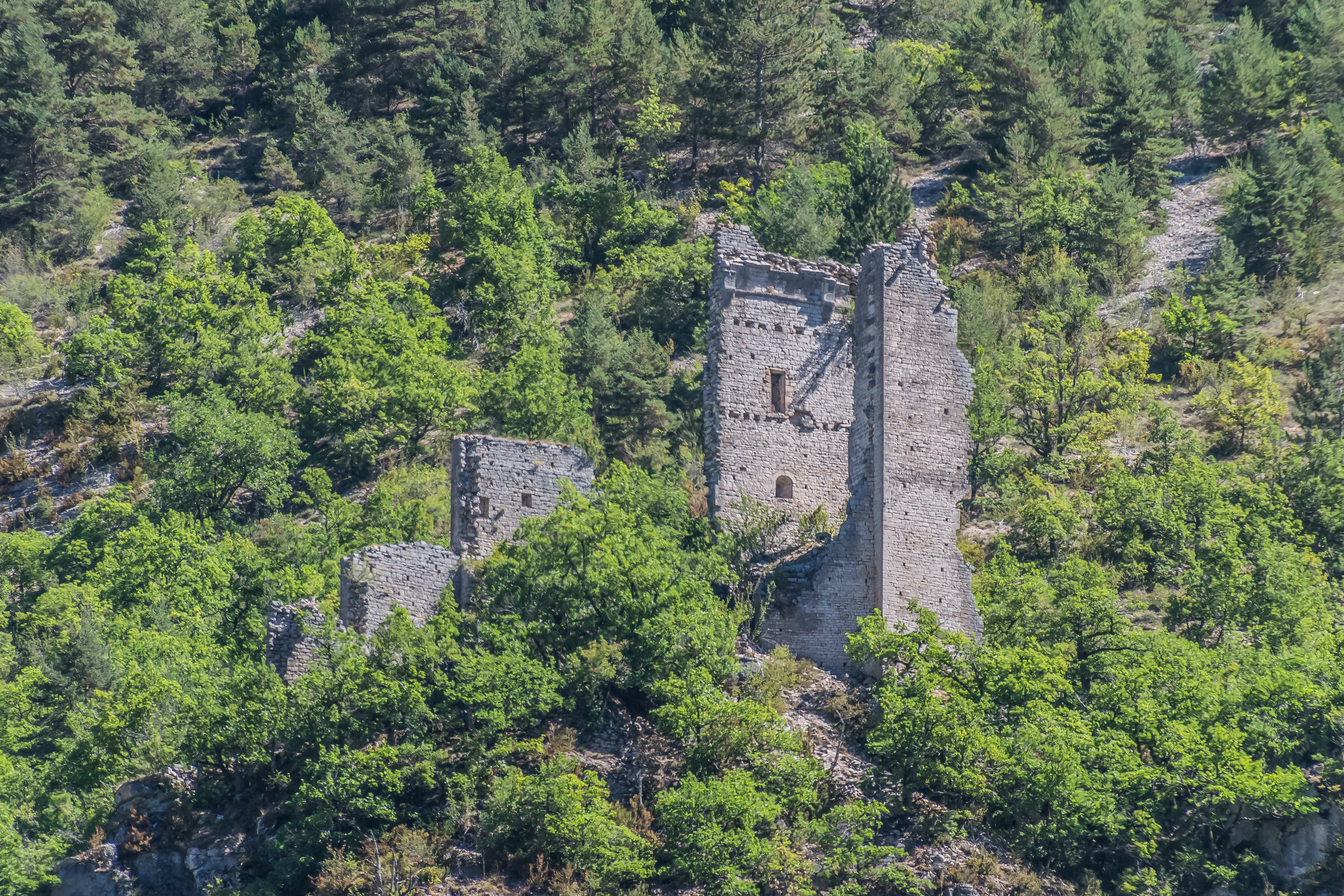
Urbex & Abandoned
Château d'Hauterives
Chanac, France
Le château d'Hauterives est un château situé au-dessus du village homonyme, sur la commune de Sainte-Enimie en Lozère, en France. Autrefois chef-lieu de la vicomté d'Hauterive, il est aujourd'hui en ruines (Il l'était déjà en 1724), et d'un accès difficile, aucune route ne menant au village d'Hauterives.
- Category
- Urbex & Abandoned
- Location
- Chanac, France
- Coordinates
- 44.32030, 3.34917
- How to get there
- Google MapsApple MapsOpenStreetMap
- Wikidata
- Q2968249
What is Château d'Hauterives?
Château d'Hauterives is a Urbex & Abandoned place on VeroMaps. Other places close by: dolmen de la Marque, dolmen du Buisson, dolmen de la Baume, Grotte des Baumes-Chaudes.
Where is Château d'Hauterives?
Château d'Hauterives is in Chanac, France. Coordinates: 44.32030, 3.34917.
How do I get to Château d'Hauterives?
Château d'Hauterives is at Chanac, France (44.32030, 3.34917). Enter these coordinates in Google Maps, Apple Maps or OpenStreetMap for walking, cycling or driving directions.