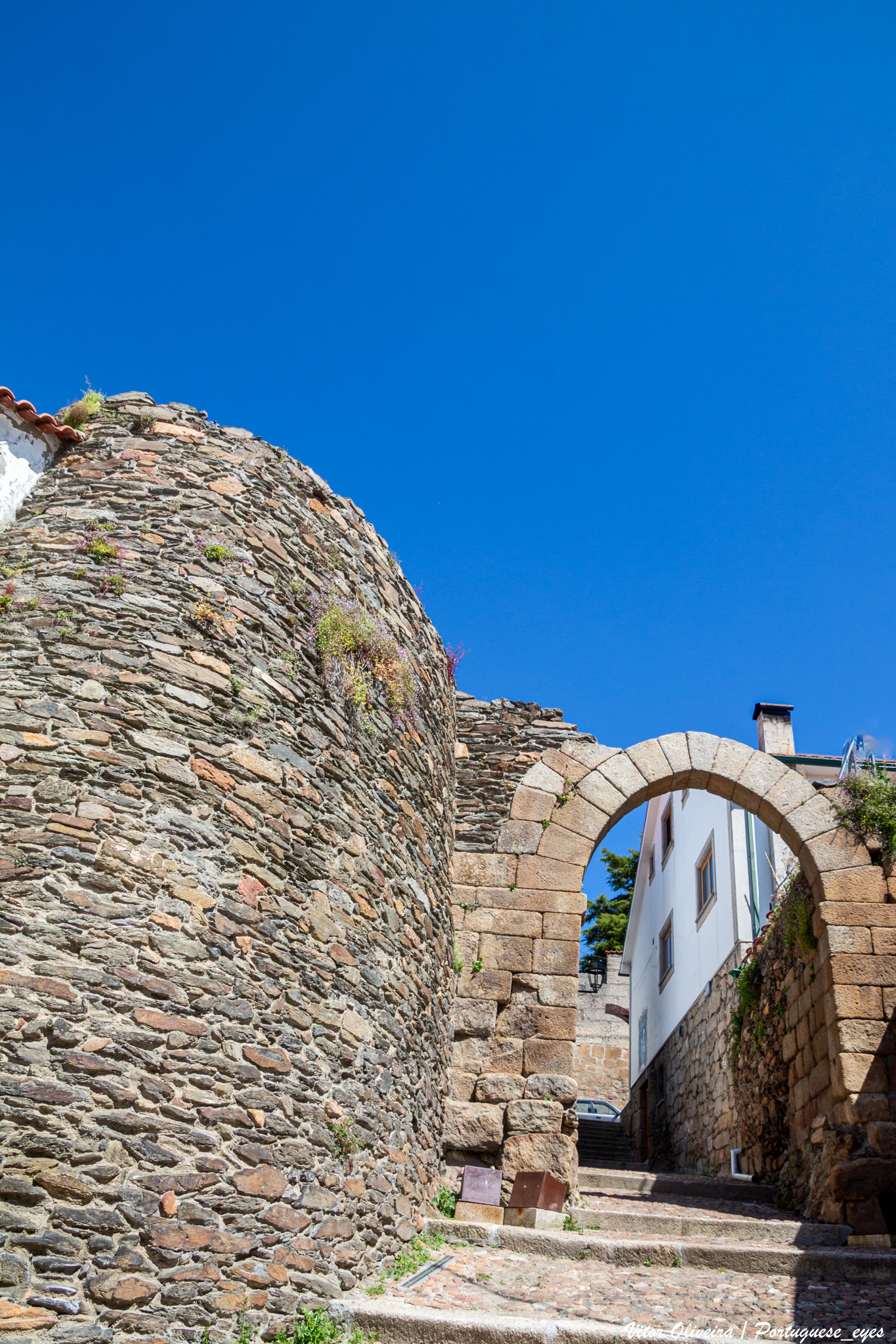
Forgotten History
Castle of Vila Flor
Vila Flor, Portugal
The Castle of Vila Flor (Portuguese: Castelo de Vila Flor) is a medieval castle located in the civil parish of Vila Flor e Nabo, municipality of Vila Flor, Portuguese district of Bragança.
- Category
- Forgotten History
- Location
- Vila Flor, Portugal
- Coordinates
- 41.30612, -7.15175
- How to get there
- Google MapsApple MapsOpenStreetMap
- Wikidata
- Q5049842
What is Castle of Vila Flor?
Castle of Vila Flor is a Forgotten History place on VeroMaps. Other places close by: Anta de Vilarinho da Castanheira, Castelo de Torre de Moncorvo, Castle of Carrazeda (ruins), Castle of Mirandela.
Where is Castle of Vila Flor?
Castle of Vila Flor is in Vila Flor, Portugal. Coordinates: 41.30612, -7.15175.
How do I get to Castle of Vila Flor?
Castle of Vila Flor is at Vila Flor, Portugal (41.30612, -7.15175). Enter these coordinates in Google Maps, Apple Maps or OpenStreetMap for walking, cycling or driving directions.