Forgotten History
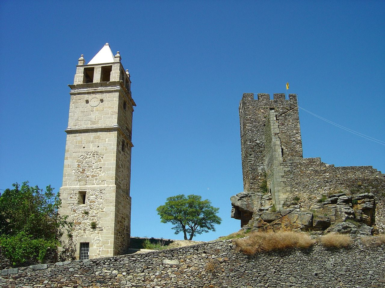
Castle of Mogadouro
Mogadouro, Portugal
The Castle of Mogadouro (Portuguese: Castelo de Mogadouro) is a medieval castle located in the civil parish of Mogadouro, Valverde, Vale de Porco e Vilar de Rei, in the municipality of Mogadouro, Portuguese district of Bragança.
- Category
- Forgotten History
- Location
- Mogadouro, Portugal
- Coordinates
- 41.33806, -6.72056
- How to get there
- Google MapsApple MapsOpenStreetMap
- Wikidata
- Q5049790
What is Castle of Mogadouro?
Castle of Mogadouro is a Forgotten History place on VeroMaps. Other places close by: Castle of Penas Róias, Castelo de Oleiros, Castle of Mós, Castle of Fermoselle.
Where is Castle of Mogadouro?
Castle of Mogadouro is in Mogadouro, Portugal. Coordinates: 41.33806, -6.72056.
How do I get to Castle of Mogadouro?
Castle of Mogadouro is at Mogadouro, Portugal (41.33806, -6.72056). Enter these coordinates in Google Maps, Apple Maps or OpenStreetMap for walking, cycling or driving directions.