Forgotten History
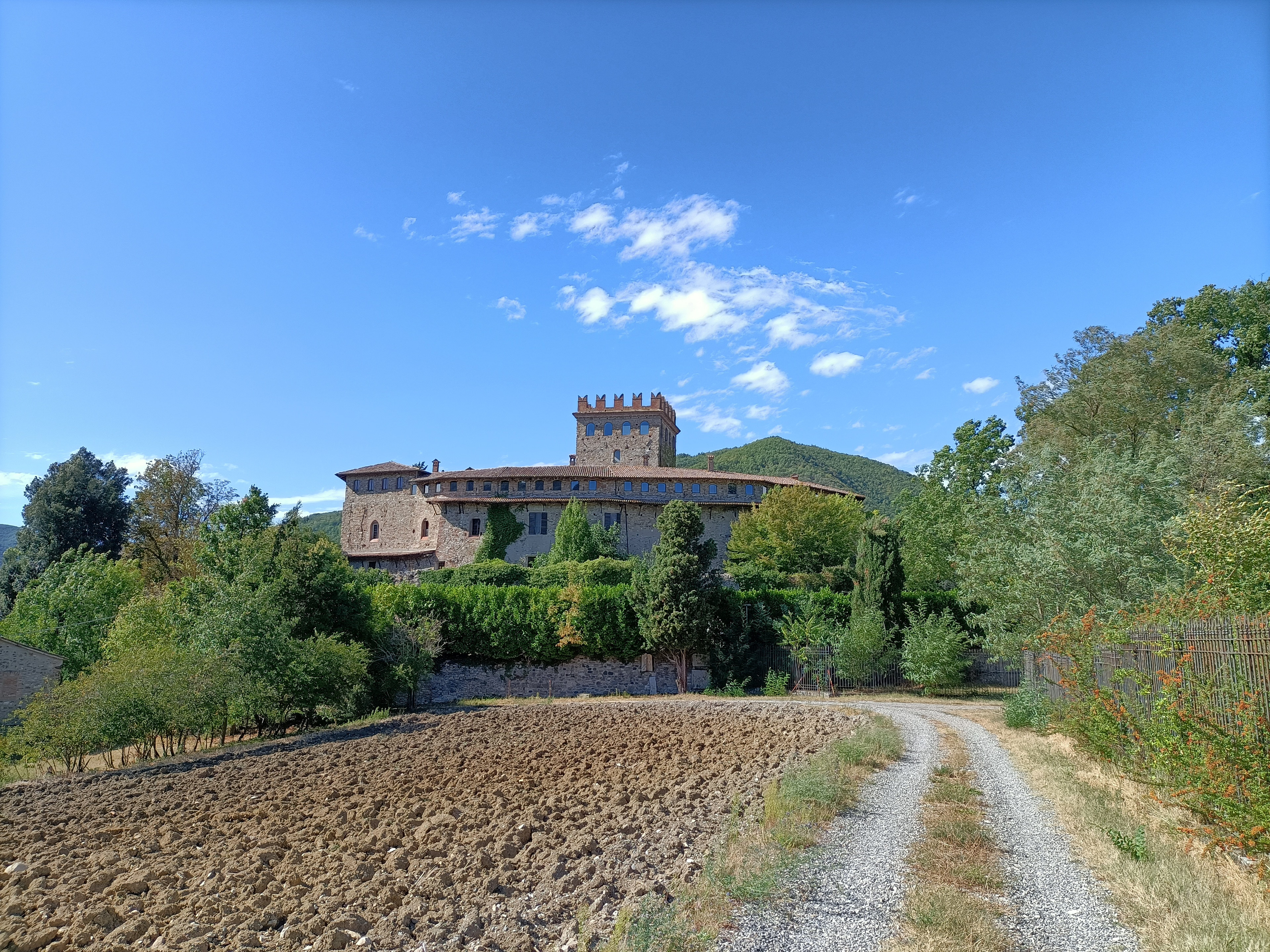
Castello di Montechiaro
Italy
Das Castello di Montechiaro ist eine mittelalterliche Burg in Montechiaro, einem Ortsteil der Gemeinde Rivergaro in der italienischen Emilia-Romagna. Die Burg steht auf den ersten Hügeln des Ligurischer Apennin und dominiert das untere Val Trebbia. Mit dem verschwundenen Castello di Rivergaro, das etwas unterhalb der Burg stand, und den Burgen von Statto und Rivalta am gegenüberliegenden Ufer des Flusses bildete die Burg ein Verteidigungsviereck, mit dem der „Caminus Genue“, die Straße von Piacenza nach Genua, die die Poebene mit dem ligurischen Meer verband, kontrolliert werden konnte.
- Category
- Forgotten History
- Location
- Italy
- Address
- S.S. n. 45 ‒ Montechiaro ‒ Rivergaro (PC)
- Coordinates
- 44.87861, 9.56611
- How to get there
- Google MapsApple MapsOpenStreetMap
- Wikidata
- Q3662731
What is Castello di Montechiaro?
Castello di Montechiaro is a Forgotten History place on VeroMaps, on S.S. n. 45 ‒ Montechiaro ‒ Rivergaro (PC). Other places close by: Castello di Statto, Castello di Rezzanello, Castello di Riva, Torre Rizzi.
Where is Castello di Montechiaro?
Castello di Montechiaro is in Italy. Coordinates: 44.87861, 9.56611.
How do I get to Castello di Montechiaro?
Castello di Montechiaro is at S.S. n. 45 ‒ Montechiaro ‒ Rivergaro (PC), Italy (44.87861, 9.56611). Enter these coordinates in Google Maps, Apple Maps or OpenStreetMap for walking, cycling or driving directions.