Forgotten History
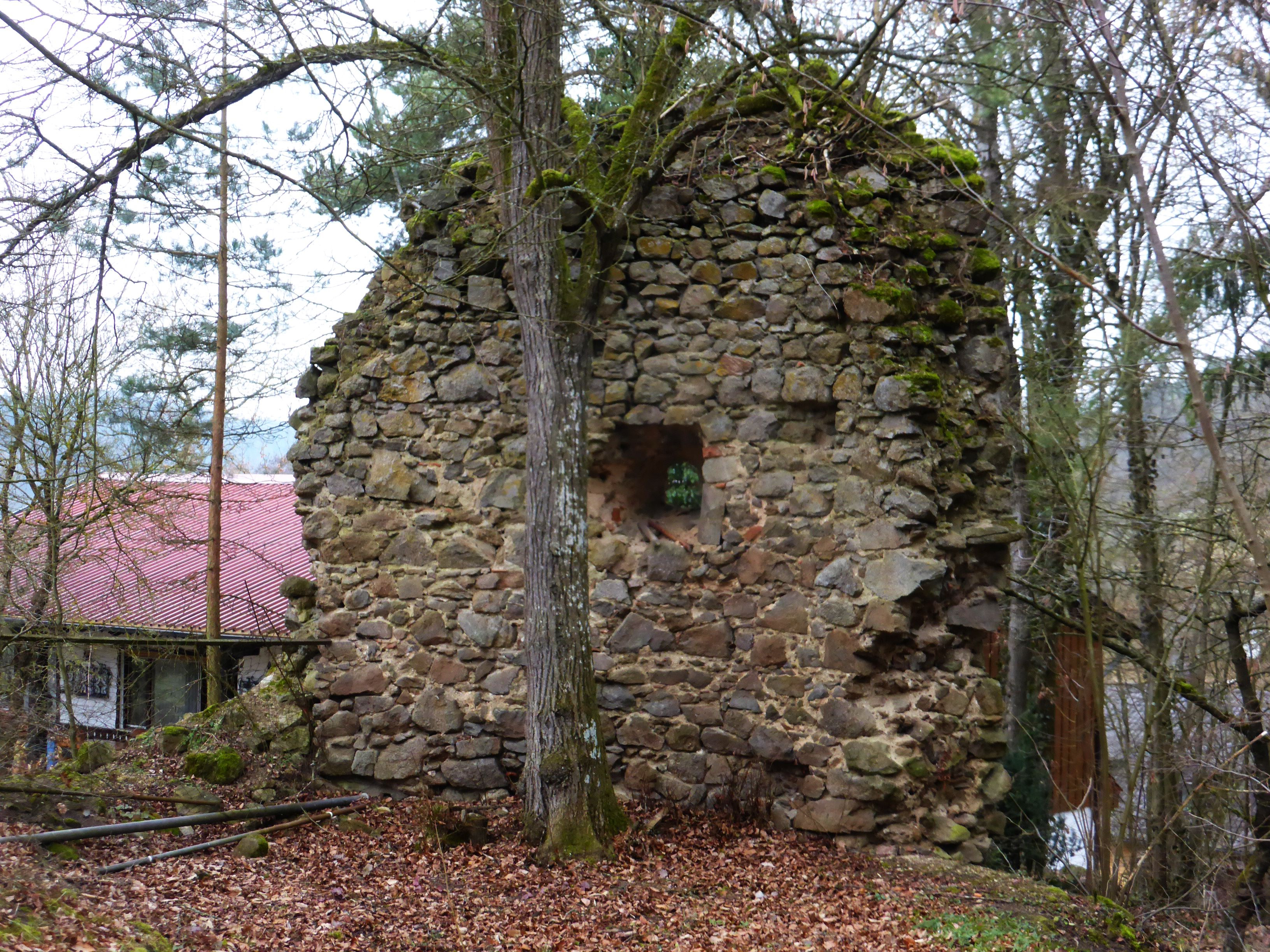
Burgstall Stadel
Regenstauf, Germany
The Burgstall Stadel is a derelict spur castle on a small 380 m above sea level. NN Spornkuppe, the Schlossberg, the hamlet of Stadel near the Karlstein district of the Regenstauf market in the Upper Palatinate district of Regensburg in Bavaria. The castle is located at the end of the Stadelmühlbach at the intersection of several old paths; It can therefore be assumed that the earlier castle served to monitor these paths.
- Category
- Forgotten History
- Location
- Regenstauf, Germany
- Coordinates
- 49.14680, 12.15920
- How to get there
- Google MapsApple MapsOpenStreetMap
- Wikidata
- Q1015927
What is Burgstall Stadel?
Burgstall Stadel is a Forgotten History place on VeroMaps. Other places close by: Burg Forstenberg, Schloss Spindlhof, Burg Hof am Regen, Burgruine Stockenfels.
Where is Burgstall Stadel?
Burgstall Stadel is in Regenstauf, Germany. Coordinates: 49.14680, 12.15920.
How do I get to Burgstall Stadel?
Burgstall Stadel is at Regenstauf, Germany (49.14680, 12.15920). Enter these coordinates in Google Maps, Apple Maps or OpenStreetMap for walking, cycling or driving directions.