Urbex & Abandoned
Donaustauf Castle
Donaustauf, Germany
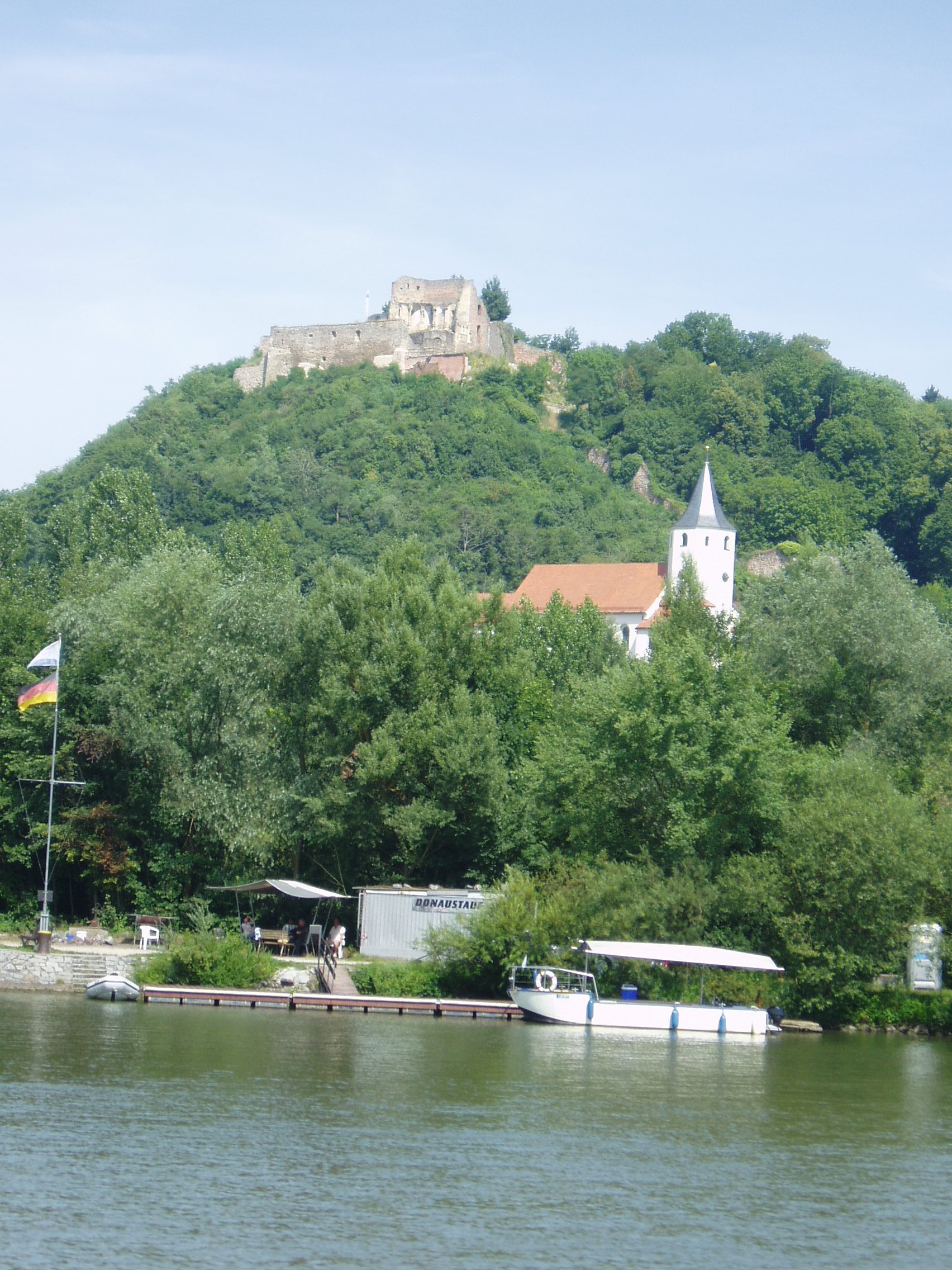
Donaustauf Castle (German: Burgruine Donaustauf) is a ruined hill castle located at a height of 424 m above sea level (NN) on a hill spur overlooking the River Danube by the market village of Donaustauf in the Upper Palatine county of Regensburg in the south German state of Bavaria.
- Category
- Urbex & Abandoned
- Location
- Donaustauf, Germany
- Coordinates
- 49.03096, 12.20712
- How to get there
- Google MapsApple MapsOpenStreetMap
- Wikidata
- Q15108334
What is Donaustauf Castle?
Donaustauf Castle is a Urbex & Abandoned place on VeroMaps. Other places close by: Hohe Linie transmitter, Burgstall Oberlichtenwald, Schwabelweis road bridge, Niedermünster.
Where is Donaustauf Castle?
Donaustauf Castle is in Donaustauf, Germany. Coordinates: 49.03096, 12.20712.
How do I get to Donaustauf Castle?
Donaustauf Castle is at Donaustauf, Germany (49.03096, 12.20712). Enter these coordinates in Google Maps, Apple Maps or OpenStreetMap for walking, cycling or driving directions.