Urbex & Abandoned
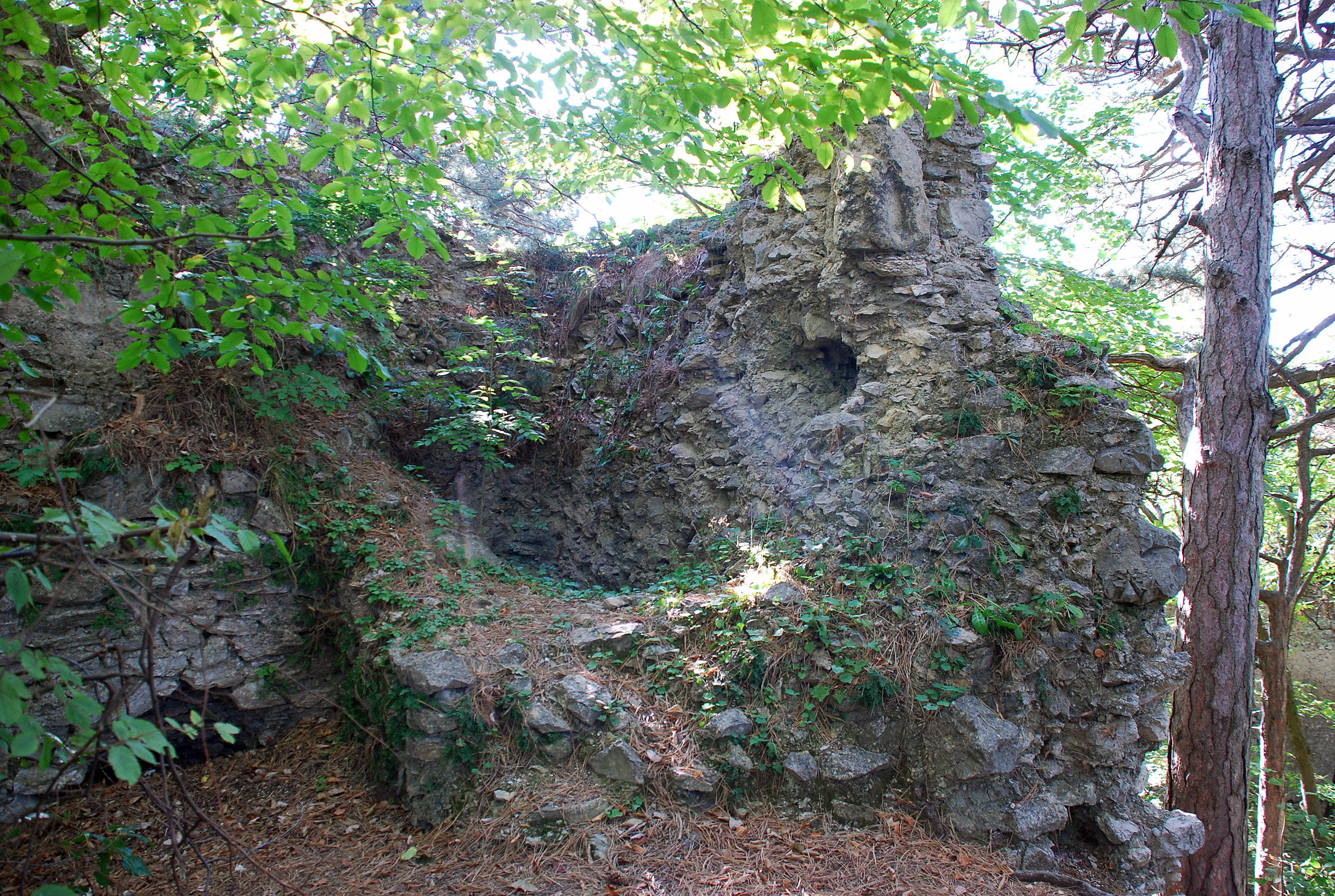
Burgruine Kammerstein
Perchtoldsdorf, Austria
Die Burgruine Kammerstein ist die Ruine einer Höhenburg südlich des Tales der Dürren Liesing auf 420 m ü. A. im Grenzgebiet der Gemeinden Perchtoldsdorf und Kaltenleutgeben im Bezirk Mödling in Niederösterreich.
- Category
- Urbex & Abandoned
- Location
- Perchtoldsdorf, Austria
- Coordinates
- 48.12551, 16.23260
- How to get there
- Google MapsApple MapsOpenStreetMap
- Wikidata
- Q1015366
What is Burgruine Kammerstein?
Burgruine Kammerstein is a Urbex & Abandoned place on VeroMaps. Other places close by: Josefswarte, Perchtoldsdorf, Gasthaus Stelzer, Johannes-Nepomuk-Statue (Perchtoldsdorf, Hochstraße 25), Antonshöhe.
Where is Burgruine Kammerstein?
Burgruine Kammerstein is in Perchtoldsdorf, Austria. Coordinates: 48.12551, 16.23260.
How do I get to Burgruine Kammerstein?
Burgruine Kammerstein is at Perchtoldsdorf, Austria (48.12551, 16.23260). Enter these coordinates in Google Maps, Apple Maps or OpenStreetMap for walking, cycling or driving directions.