Urbex & Abandoned
Antonshöhe
Antonshöhe, Austria
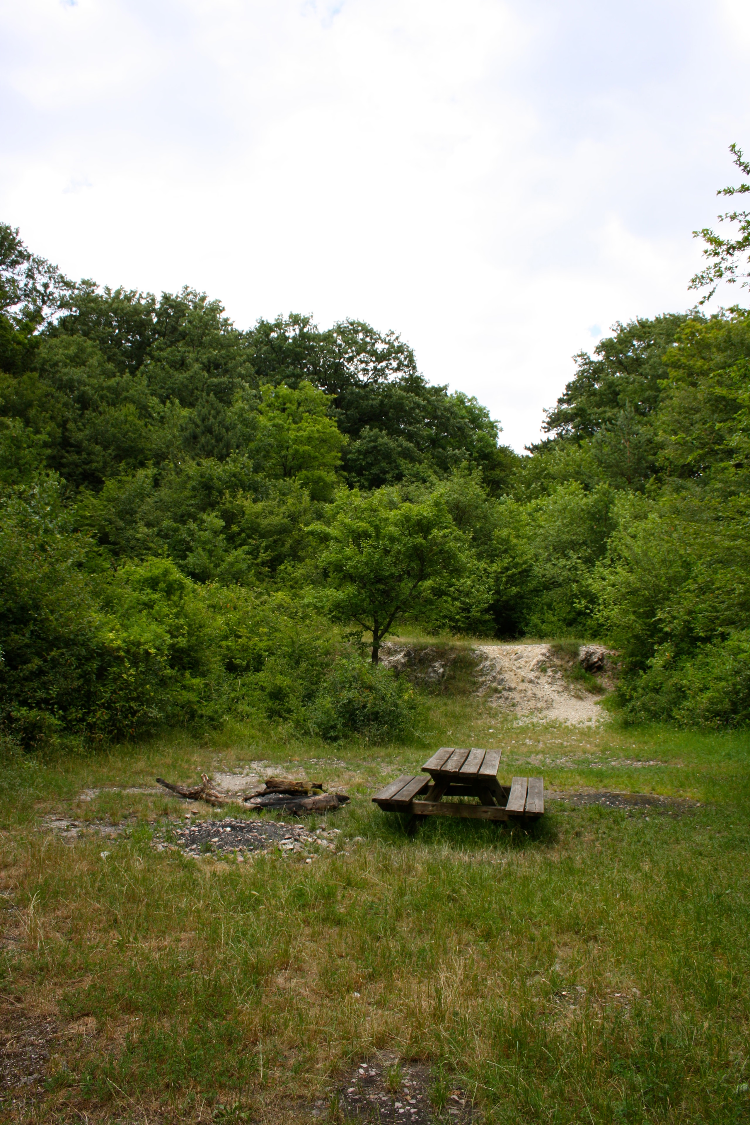
Die Antonshöhe, früher auch Hauswurzhügel genannt, ist eine 356 m hohe Erhebung im Bezirksteil Mauer des 23. Wiener Gemeindebezirks Liesing. Dort befindet sich der aufgelassene Steinbruch Mauer-Antonshöhe der Stadt Wien, der als ältestes Industriedenkmal Österreichs bezeichnet werden kann.
- Category
- Urbex & Abandoned
- Location
- Antonshöhe, Austria
- Coordinates
- 48.14910, 16.24450
- How to get there
- Google MapsApple MapsOpenStreetMap
- Wikidata
- Q1726493
What is Antonshöhe?
Antonshöhe is a Urbex & Abandoned place on VeroMaps. Other places close by: Gasthaus Stelzer, Burgruine Kammerstein, Hubertuswarte, Johannes-Nepomuk-Statue (Perchtoldsdorf, Hochstraße 25).
Where is Antonshöhe?
Antonshöhe is in Antonshöhe, Austria. Coordinates: 48.14910, 16.24450.
How do I get to Antonshöhe?
Antonshöhe is at Antonshöhe, Austria (48.14910, 16.24450). Enter these coordinates in Google Maps, Apple Maps or OpenStreetMap for walking, cycling or driving directions.