Photo corners
Buholmråsa Lighthouse
Steinsdalen, Norway
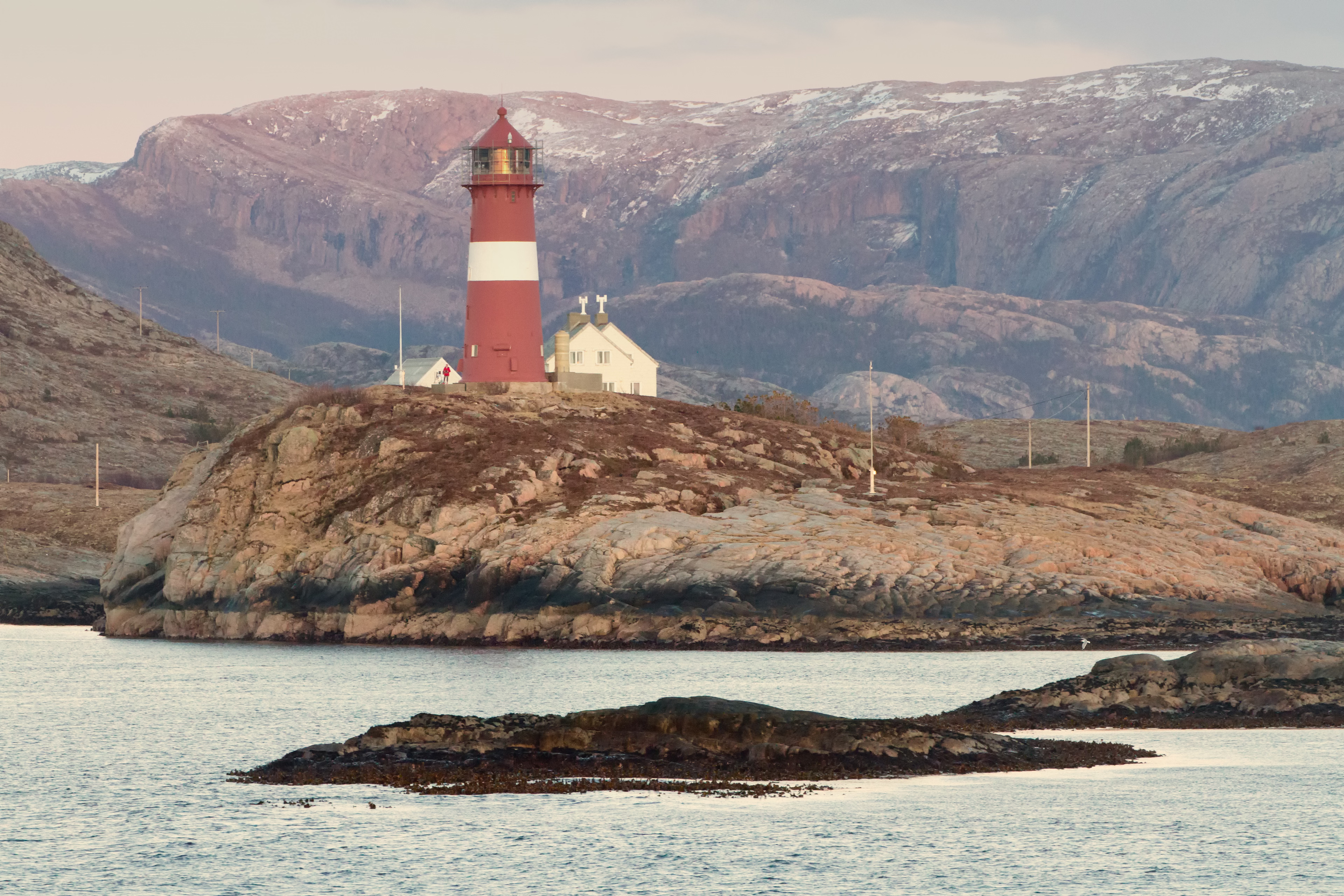
The Buholmråsa Lighthouse (Norwegian: Buholmråsa fyr) is a coastal lighthouse in Osen Municipality in Trøndelag county, Norway. The lighthouse is located in the Svesfjorden on the small island Sønnaholmen about 2 kilometres (1.2 mi) northwest of the village of Seter. It was built in 1917 and automated in 1994. The Kya Lighthouse lies on a small island in the open ocean about 13.5 kilometres (8.4 mi) to the northwest of Buholmråsa Lighthouse. During World War II, air raids damaged some of the buildings at this station. The 23.5-metre (77 ft) tall, round, cast iron lighthouse is red with one white stripe and it can be seen for up to 19.3 nautical miles (35.7 km; 22.2 mi). The light sits on top at an elevation of 38 metres (125 ft) above sea level. The 140,400-candela light emits a white, red, or green light (depending on direction), occulting once every six seconds. The lighthouse also broadcasts a racon signal that is a morse code letter B (-•••).
- Category
- Photo Spots
- Location
- Steinsdalen, Norway
- Coordinates
- 64.40167, 10.45278
- How to get there
- Google MapsApple MapsOpenStreetMap
- Wikidata
- Q747200
What is Buholmråsa Lighthouse?
Buholmråsa Lighthouse is a Photo Spots place on VeroMaps. Other places close by: Kya Lighthouse, Villa Lighthouse, Kaura Lighthouse, Gjæslingan Lighthouse.
Where is Buholmråsa Lighthouse?
Buholmråsa Lighthouse is in Steinsdalen, Norway. Coordinates: 64.40167, 10.45278.
How do I get to Buholmråsa Lighthouse?
Buholmråsa Lighthouse is at Steinsdalen, Norway (64.40167, 10.45278). Enter these coordinates in Google Maps, Apple Maps or OpenStreetMap for walking, cycling or driving directions.