Photo corners
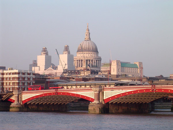
Blackfriars Bridge
London, United Kingdom
Blackfriars Bridge is a road and foot traffic bridge over the River Thames in London, between Waterloo Bridge and Blackfriars Railway Bridge, carrying the A201 road. The north end is in the City of London near the Inns of Court and Temple Church, along with Blackfriars station. The south end is in the London Borough of Southwark, near the Tate Modern art gallery and the Oxo Tower. Opened in the 1860s, it replaced an earlier bridge from the 1760s.
- Category
- Photo Spots
- Location
- London, United Kingdom
- Coordinates
- 51.50972, -0.10444
- How to get there
- Google MapsApple MapsOpenStreetMap
- Wikidata
- Q880843
What is Blackfriars Bridge?
Blackfriars Bridge is a Photo Spots place on VeroMaps. Other places close by: Blackfriars Railway Bridge, Bridewell Palace, Baynard's Castle, The Cockpit.
Where is Blackfriars Bridge?
Blackfriars Bridge is in London, United Kingdom. Coordinates: 51.50972, -0.10444.
How do I get to Blackfriars Bridge?
Blackfriars Bridge is at London, United Kingdom (51.50972, -0.10444). Enter these coordinates in Google Maps, Apple Maps or OpenStreetMap for walking, cycling or driving directions.