Forgotten History
Bevergern Castle
Horstel, Germany
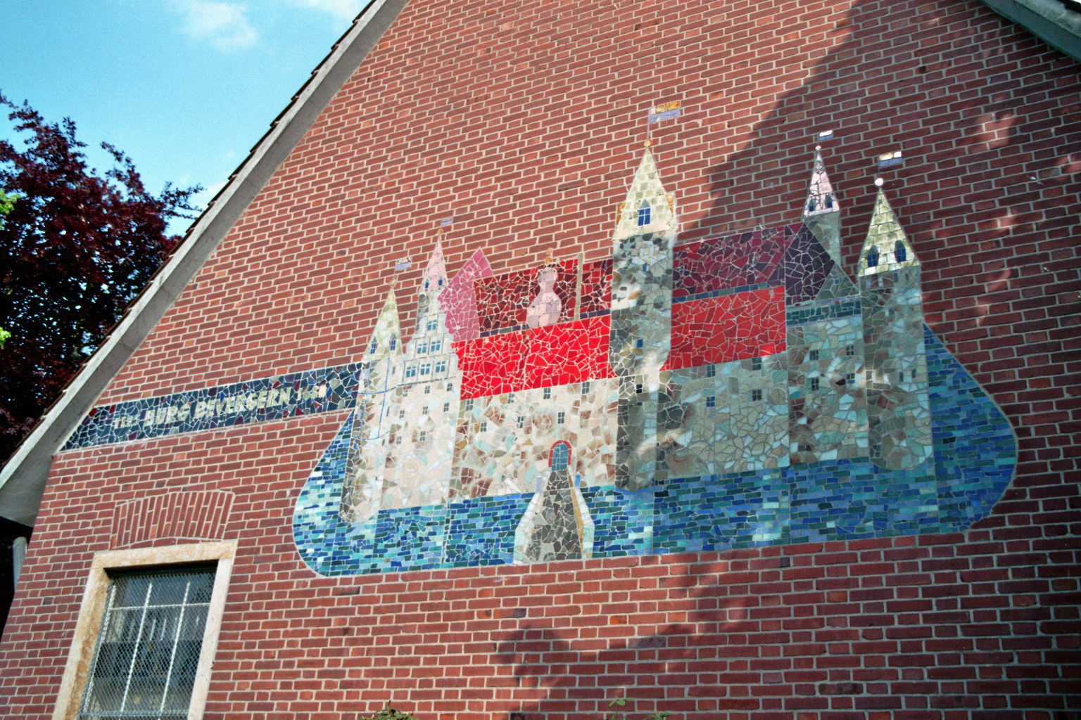
Bevergern Castle (German: Burg Bevergern) is a Burgstall, or a castle of which little remains, in the present centre of the farming village of Bevergern within the borough of Hörstel in the Westphalian region of Tecklenburg Land in the county of Steinfurt. It was blown up in 1680 by Ferdinand II of Fürstenberg, Bishop of Münster.
- Category
- Forgotten History
- Location
- Horstel, Germany
- Coordinates
- 52.27220, 7.58104
- How to get there
- Google MapsApple MapsOpenStreetMap
- Wikidata
- Q1010986
What is Bevergern Castle?
Bevergern Castle is a Forgotten History place on VeroMaps. Other places close by: Grube Mieke, Botanischer Garten Loismann, Von-der-Heydt-Schacht, Großsteingrab von Rheine.
Where is Bevergern Castle?
Bevergern Castle is in Horstel, Germany. Coordinates: 52.27220, 7.58104.
How do I get to Bevergern Castle?
Bevergern Castle is at Horstel, Germany (52.27220, 7.58104). Enter these coordinates in Google Maps, Apple Maps or OpenStreetMap for walking, cycling or driving directions.