Forgotten History
Halstenbeck
Ostbevern, Germany
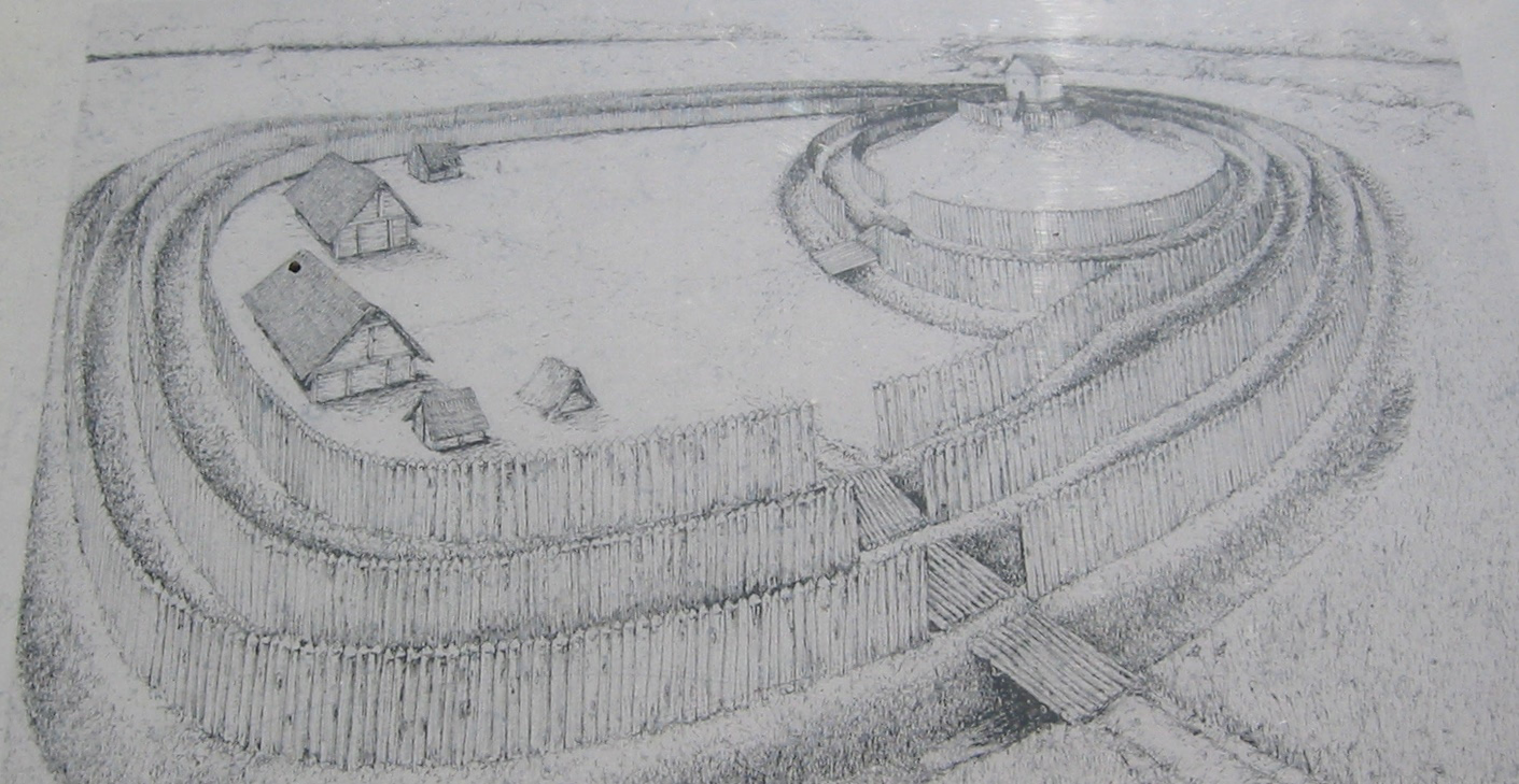
Halstenbeck Castle is a former lowland castle and served as a refuge in the county of Tecklenburg in Ostbevern in the Warendorf district in North Rhine-Westphalia. Today there is an artificial floodplain created in 2003 on site.
- Category
- Forgotten History
- Location
- Ostbevern, Germany
- Coordinates
- 52.01960, 7.80779
- How to get there
- Google MapsApple MapsOpenStreetMap
- Wikidata
- Q1012178
What is Halstenbeck?
Halstenbeck is a Forgotten History place on VeroMaps. Other places close by: Gereonkapelle, Pietàkapelle, Rochuskapelle (Ostbevern), Haus Bevern.
Where is Halstenbeck?
Halstenbeck is in Ostbevern, Germany. Coordinates: 52.01960, 7.80779.
How do I get to Halstenbeck?
Halstenbeck is at Ostbevern, Germany (52.01960, 7.80779). Enter these coordinates in Google Maps, Apple Maps or OpenStreetMap for walking, cycling or driving directions.