Urbex & Abandoned
Berkeley Pit
Montana, United States
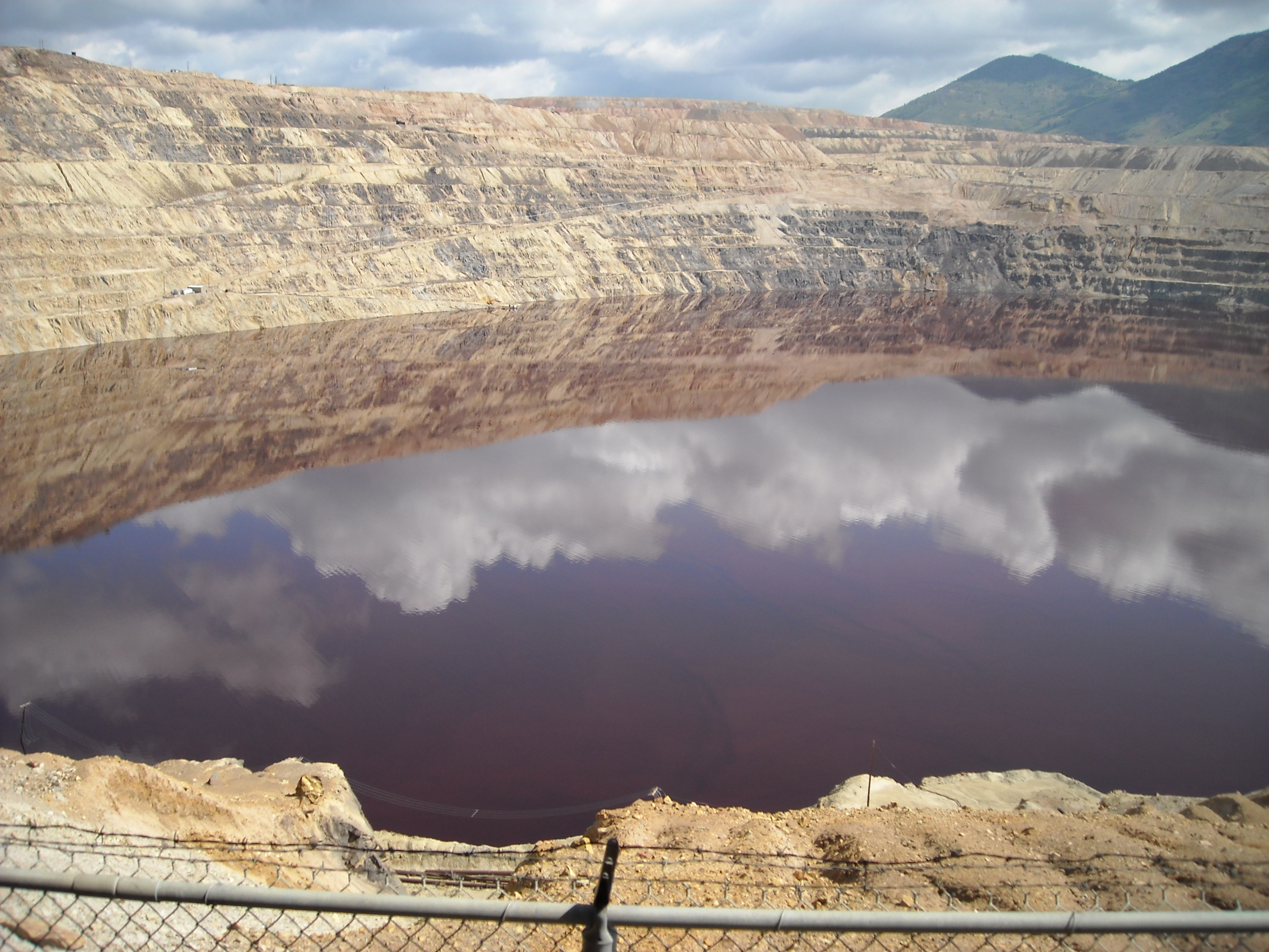
The Berkeley Pit is a former open pit copper mine in the western United States, located in Butte, Montana. It is one mile (1.6 km) long by one-half mile (800 m) wide, with an approximate maximum depth of 1,780 feet (540 m). It is filled to a depth of about 900 feet (270 m) with water that is acidic (4.1 - 4.5 pH level), about the acidity of beer or tomatoes. As a result, the pit's water is laden with heavy metals and dissolved metals that leach from the rock in a natural process known as acid rock drainage. The pit's water content includes (but is not limited to) dissolved copper, arsenic, cadmium, zinc, and sulfuric acid. The mine was opened in 1955 and operated by the Anaconda Copper Mining Company, and later by the Atlantic Richfield Company (ARCO), until its closure on April 22, 1982. When the pit was closed, the water pumps in the nearby Kelley Mine, 3,800 ft (1,200 m) below the surface, were turned off, and groundwater began to slowly fill the Berkeley Pit, rising at about the rate of one foot (30 cm) per month. Since its closure, the water level in the pit has risen to within 150 feet (46 m) of the "protective water level", above which the polluted water might flow into a nearby creek and other local water sources. As a result, a water treatment plant has been operating at the site since October 2019. The Berkeley Pit can be visited by tourists, with a viewing stand and small visitor center.
- Category
- Urbex & Abandoned
- Location
- Montana, United States
- Coordinates
- 46.01733, -112.51017
- How to get there
- Google MapsApple MapsOpenStreetMap
- Wikidata
- Q820869
What is Berkeley Pit?
Berkeley Pit is a Urbex & Abandoned place on VeroMaps. Other places close by: Anaconda Copper Mine, Mai Wah Museum, Matt's Place Drive-In, Club Moderne.
Where is Berkeley Pit?
Berkeley Pit is in Montana, United States. Coordinates: 46.01733, -112.51017.
How do I get to Berkeley Pit?
Berkeley Pit is at Montana, United States (46.01733, -112.51017). Enter these coordinates in Google Maps, Apple Maps or OpenStreetMap for walking, cycling or driving directions.