Urbex & Abandoned
Bannack
Beaverhead County, United States
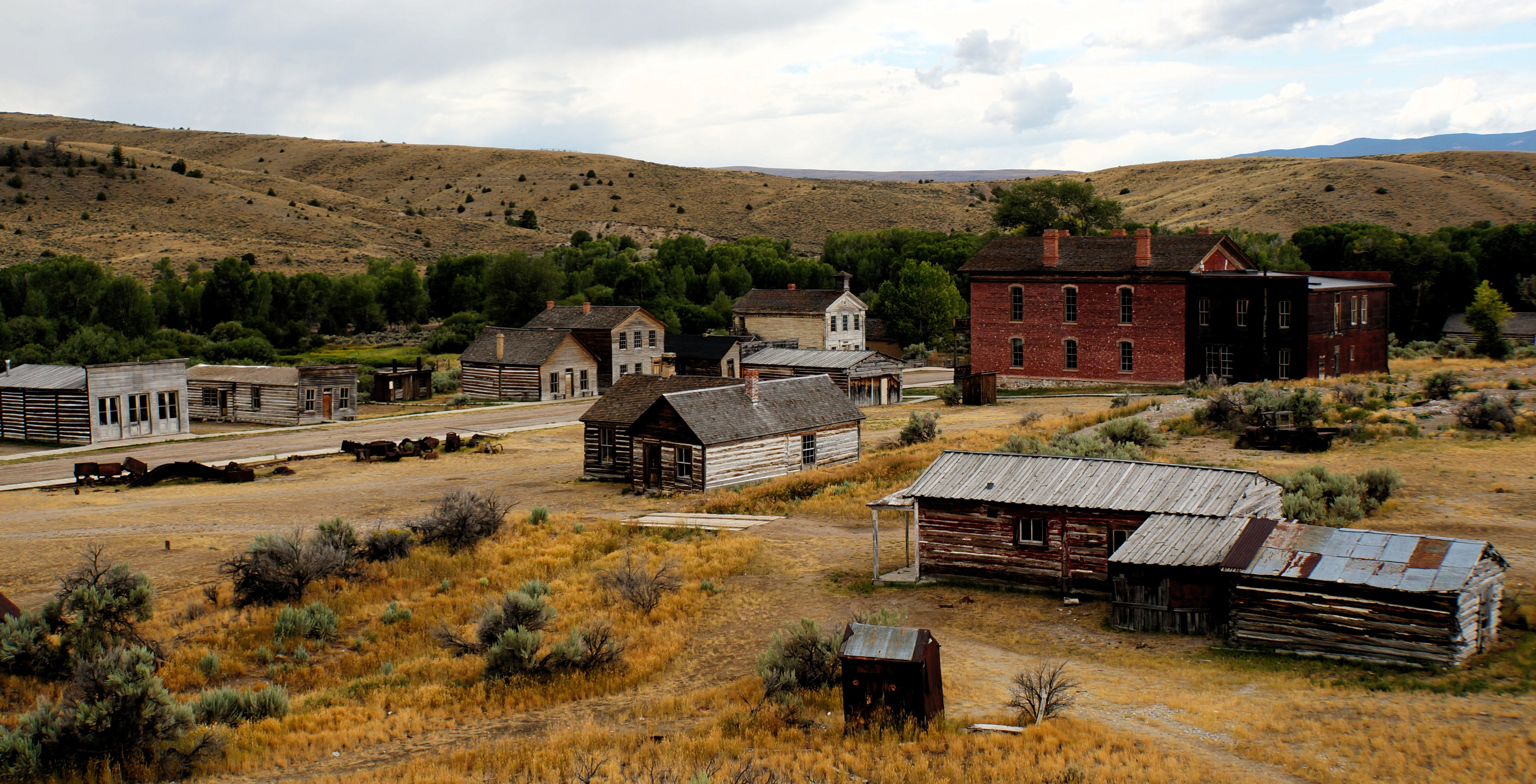
Bannack is a ghost town in Beaverhead County, Montana, United States, located on Grasshopper Creek, approximately 11 miles (18 km) upstream from where Grasshopper Creek joins with the Beaverhead River south of Dillon. Founded in 1862, the town is a National Historic Landmark managed by the state of Montana as Bannack State Park.
- Category
- Urbex & Abandoned
- Location
- Beaverhead County, United States
- Coordinates
- 45.16134, -112.99644
- How to get there
- Google MapsApple MapsOpenStreetMap
- Wikidata
- Q806862
What is Bannack?
Bannack is a Urbex & Abandoned place on VeroMaps. Other places close by: Matt's Place Drive-In, Mai Wah Museum, Berkeley Pit, Anaconda Copper Mine.
Where is Bannack?
Bannack is in Beaverhead County, United States. Coordinates: 45.16134, -112.99644.
How do I get to Bannack?
Bannack is at Beaverhead County, United States (45.16134, -112.99644). Enter these coordinates in Google Maps, Apple Maps or OpenStreetMap for walking, cycling or driving directions.