Photo corners
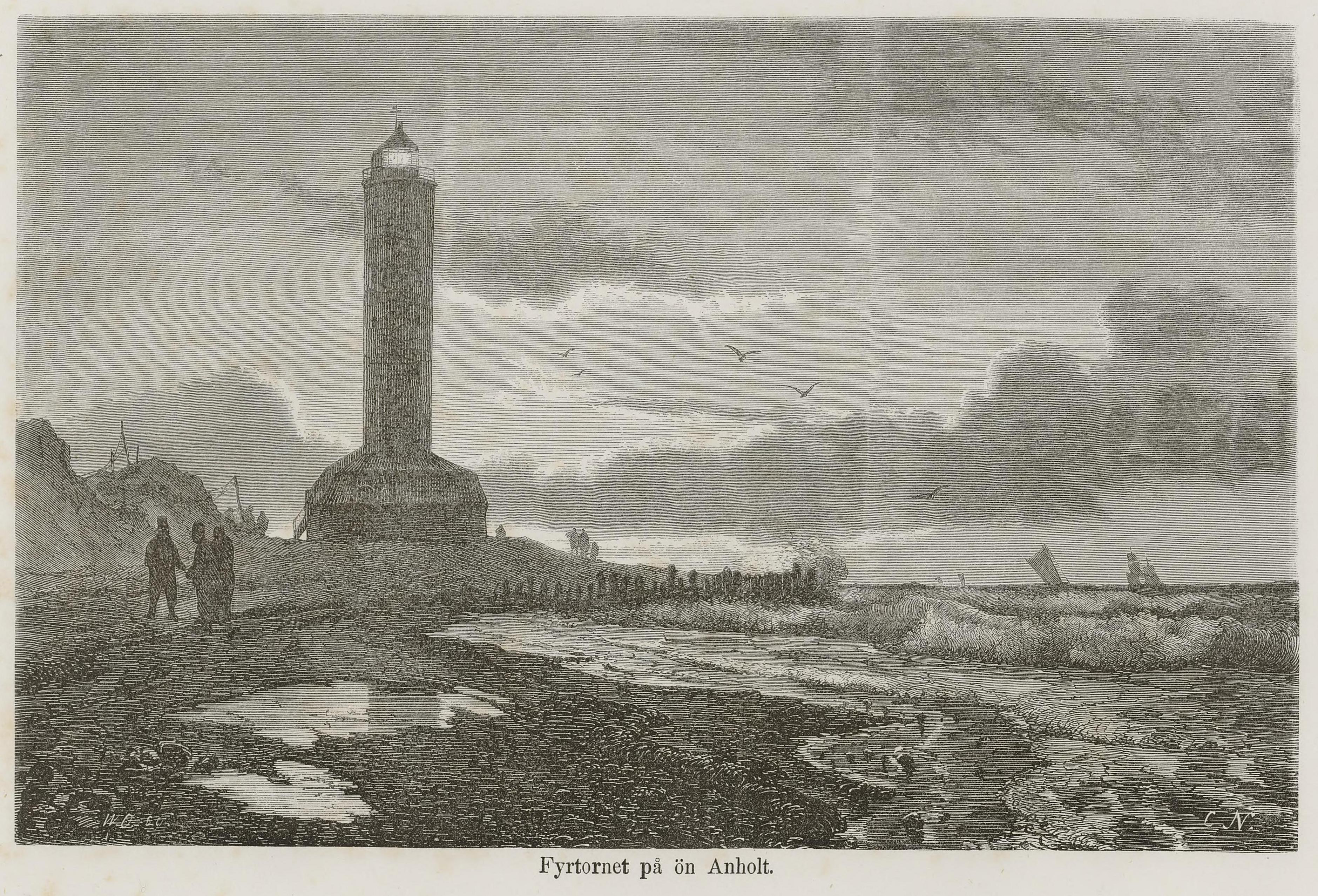
Anholt Lighthouse
Varberg, Germany
p4Der Anholt Fyr (dänisch für Leuchtturm Anholt) ist einer der ersten Leuchttürme Dänemarks. Er befindet sich am nordöstlichen Ende der dänischen Insel Anholt im Kattegat. Der Turm ist 42 Meter hoch.
- Category
- Photo Spots
- Location
- Varberg, Germany
- Coordinates
- 56.73741, 11.65040
- How to get there
- Google MapsApple MapsOpenStreetMap
- Wikidata
- Q28758528
What is Anholt Lighthouse?
Anholt Lighthouse is a Photo Spots place on VeroMaps. Other places close by: Gamla Köpstad, Fornæs Lighthouse, Western Getterön Nature Reserve, Randens hög.
Where is Anholt Lighthouse?
Anholt Lighthouse is in Varberg, Germany. Coordinates: 56.73741, 11.65040.
How do I get to Anholt Lighthouse?
Anholt Lighthouse is at Varberg, Germany (56.73741, 11.65040). Enter these coordinates in Google Maps, Apple Maps or OpenStreetMap for walking, cycling or driving directions.