Forgotten History
Aberystwyth Castle
Aberystwyth, United Kingdom
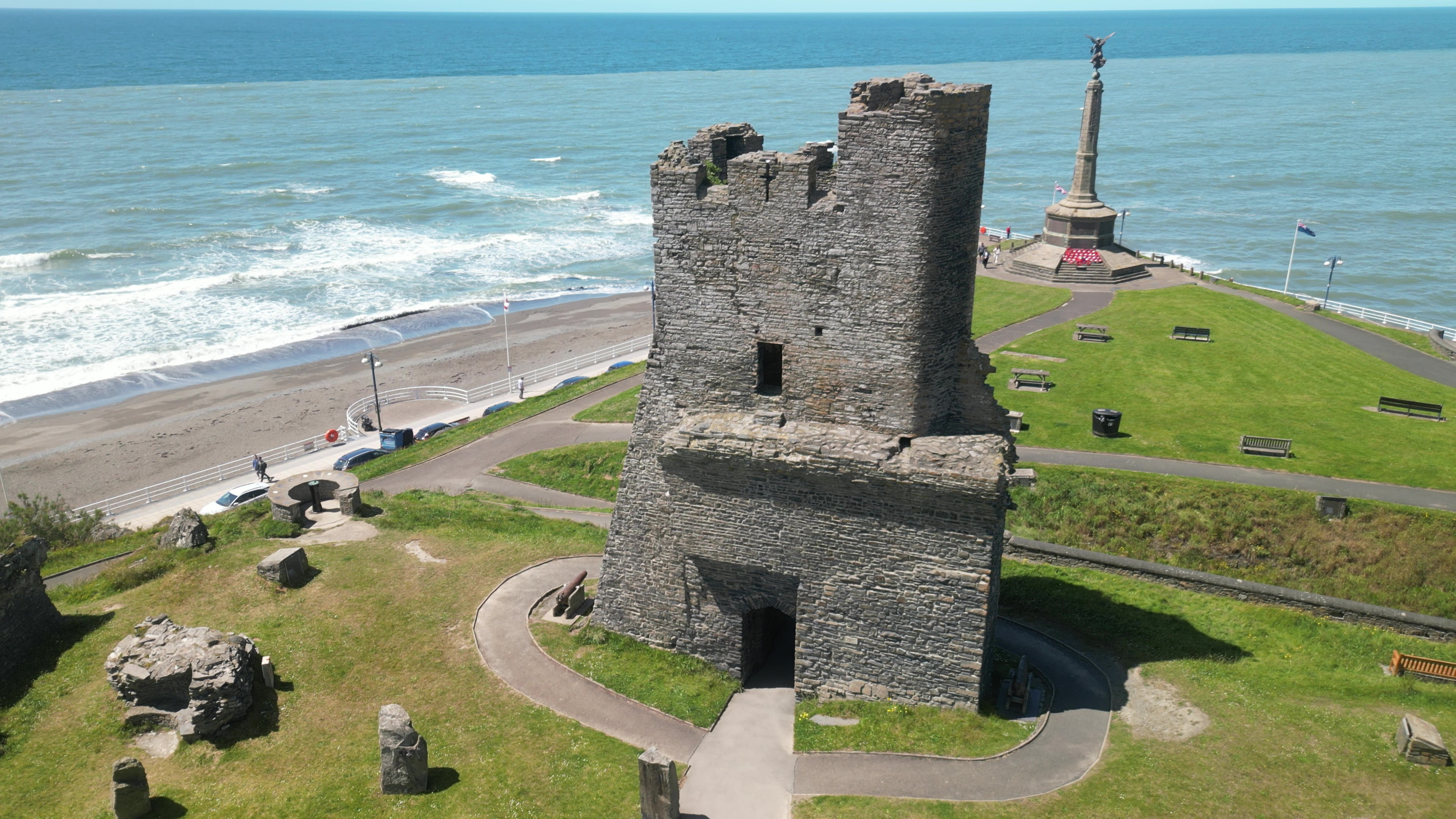
Aberystwyth Castle (Welsh: Castell Aberystwyth) is a Grade I listed Edwardian fortress located in Aberystwyth, Ceredigion, Mid Wales. It was built in response to the First Welsh War in the late 13th century, replacing an earlier fortress located a mile to the south. During a national uprising by Owain Glyndŵr, the Welsh captured the castle in 1404, but it was recaptured by the English four years later. From 1637, it housed a Royal mint of Charles I, which minted coins from locally mined silver. The castle was slighted by Oliver Cromwell in 1649.
- Category
- Forgotten History
- Location
- Aberystwyth, United Kingdom
- Coordinates
- 52.41328, -4.08950
- How to get there
- Google MapsApple MapsOpenStreetMap
- Wikidata
- Q319745
What is Aberystwyth Castle?
Aberystwyth Castle is a Forgotten History place on VeroMaps. Other places close by: Dyfi National Nature Reserve, Llywernog Mine, Ynyshir, Ynys-hir RSPB reserve.
Where is Aberystwyth Castle?
Aberystwyth Castle is in Aberystwyth, United Kingdom. Coordinates: 52.41328, -4.08950.
How do I get to Aberystwyth Castle?
Aberystwyth Castle is at Aberystwyth, United Kingdom (52.41328, -4.08950). Enter these coordinates in Google Maps, Apple Maps or OpenStreetMap for walking, cycling or driving directions.