Urbex & Abandoned
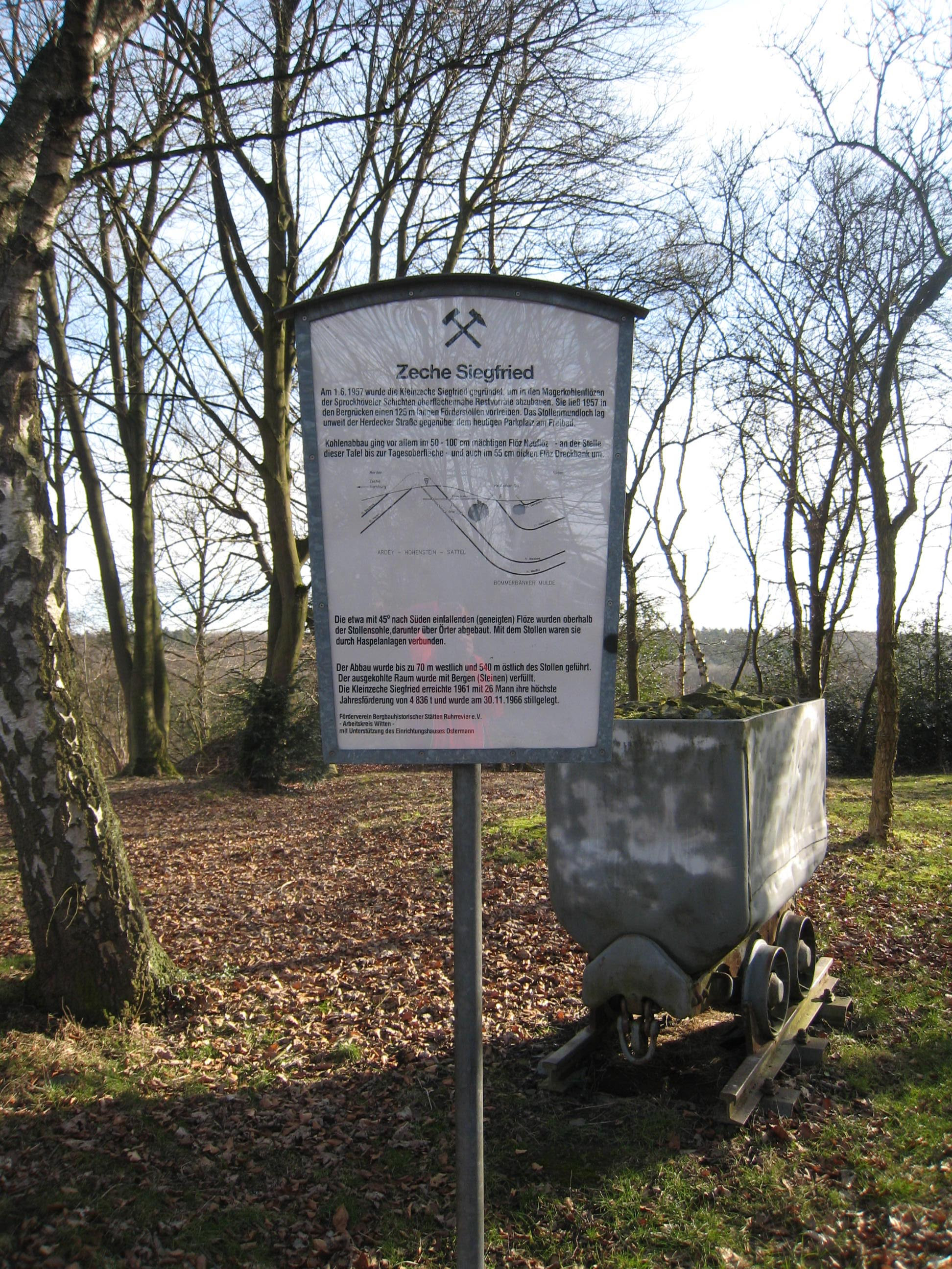
Zeche Siegfried
Hattingen, Germany
Die Zeche Siegfried war ein Steinkohlebergwerk im Wittener Stadtteil Annen und war eine der letzten Kleinzechen des Ruhrgebiets.
- Category
- Urbex & Abandoned
- Location
- Hattingen, Germany
- Coordinates
- 51.44040, 7.38847
- How to get there
- Google MapsApple MapsOpenStreetMap
- Wikidata
- Q183964
What is Zeche Siegfried?
Zeche Siegfried is a Urbex & Abandoned place on VeroMaps. Other places close by: Jugendtreff Imberg, Berger memorial, Steinbruch Rauen, Helenenturm.
Where is Zeche Siegfried?
Zeche Siegfried is in Hattingen, Germany. Coordinates: 51.44040, 7.38847.
How do I get to Zeche Siegfried?
Zeche Siegfried is at Hattingen, Germany (51.44040, 7.38847). Enter these coordinates in Google Maps, Apple Maps or OpenStreetMap for walking, cycling or driving directions.