Urbex & Abandoned
Zeche Mont Cenis
Hattingen, Germany
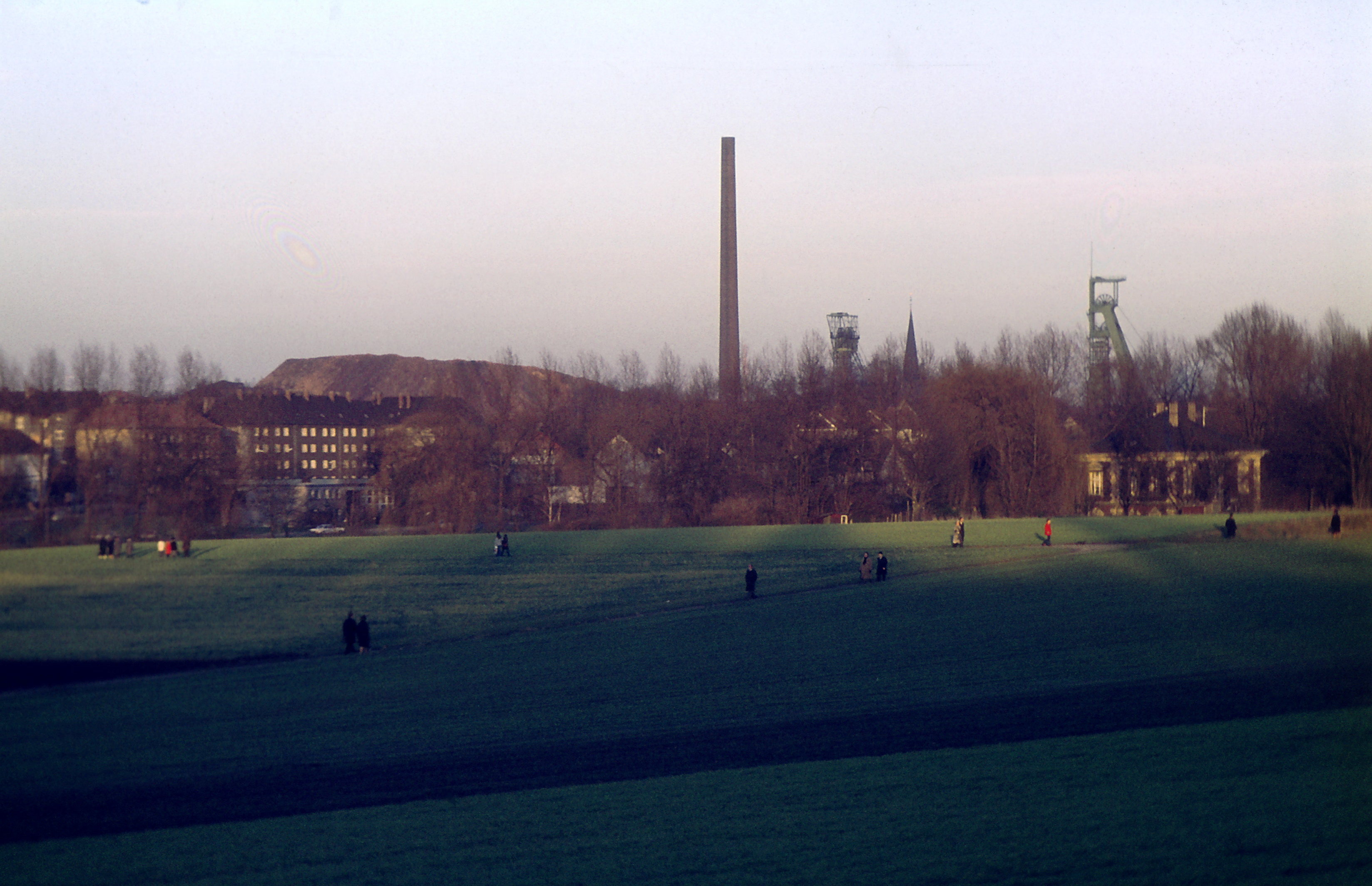
Die Zeche Mont Cenis war ein Steinkohlen-Bergwerk in Herne-Sodingen. Auf einer ihrer beiden Betriebsanlagen wurden ein moderner Energiepark und der Neubau der Fortbildungsakademie des Landes Nordrhein-Westfalen errichtet.
- Category
- Urbex & Abandoned
- Location
- Hattingen, Germany
- Coordinates
- 51.54060, 7.25664
- How to get there
- Google MapsApple MapsOpenStreetMap
- Wikidata
- Q183884
What is Zeche Mont Cenis?
Zeche Mont Cenis is a Urbex & Abandoned place on VeroMaps. Other places close by: Zeche Friedrich der Große, Shamrock mine, Herne, Zeche Julia, Haus Goldschmieding.
Where is Zeche Mont Cenis?
Zeche Mont Cenis is in Hattingen, Germany. Coordinates: 51.54060, 7.25664.
How do I get to Zeche Mont Cenis?
Zeche Mont Cenis is at Hattingen, Germany (51.54060, 7.25664). Enter these coordinates in Google Maps, Apple Maps or OpenStreetMap for walking, cycling or driving directions.