Forgotten History
Złotoria Castle
Kuyavian-Pomeranian Voivodeship, Poland
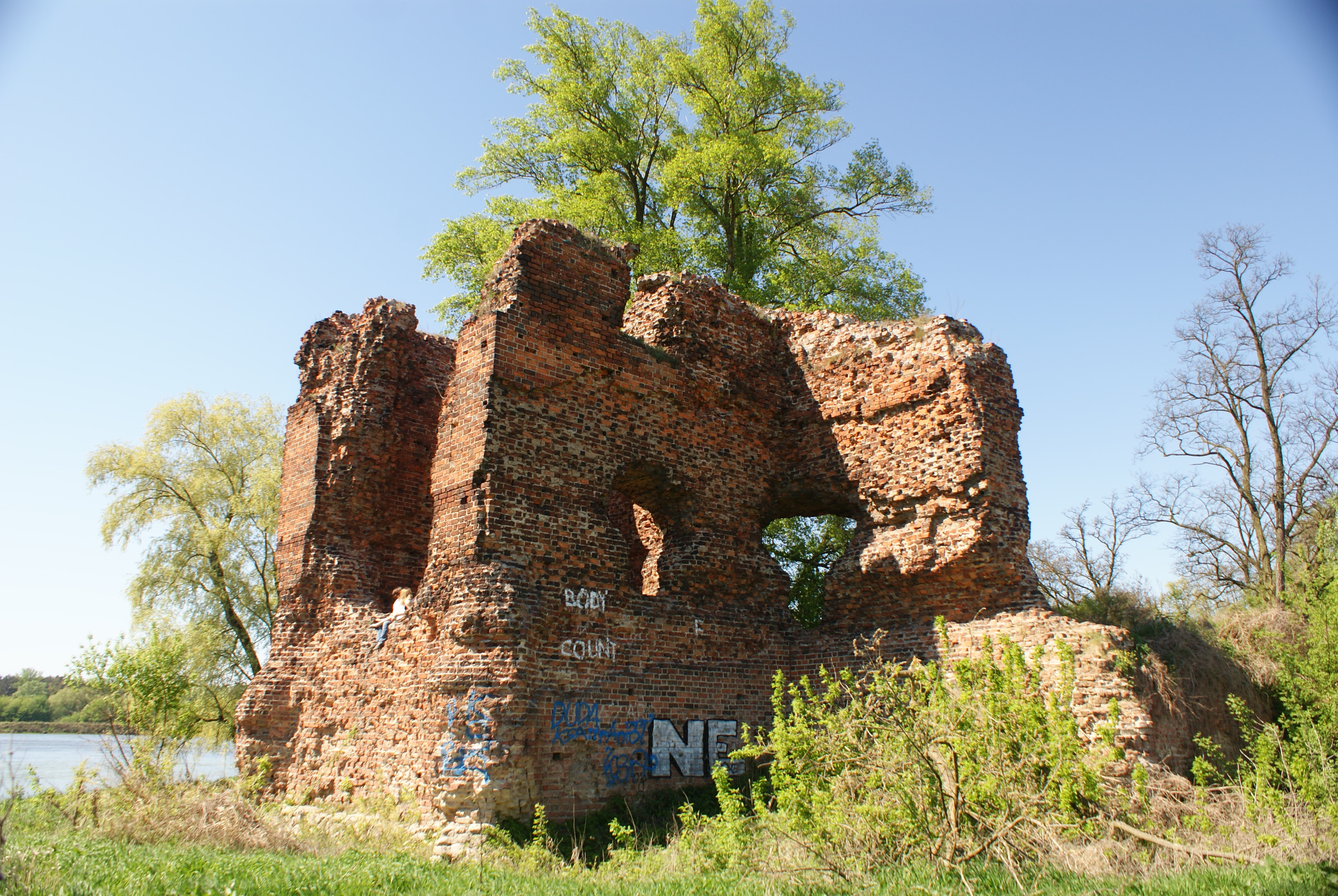
The castle in Złotoria is the older of the two former Polish border castles near Toruń in Poland. It is located in the territory of the neighboring municipality of Złotoria on the promontory between the Vistula and the Drwęca flowing in from the north. In the Middle Ages, the Drwęca was the border river between the Land of Chełmno, which Konrad I of Masovia ceded to the Teutonic Order in 1230 in the Treaty of Kruszwica, and the Dobrzyń Land, which remained intermittently in the hands of the Polish Piast dynasty. To the west of it, the Vistula formed the southern.
- Category
- Forgotten History
- Location
- Kuyavian-Pomeranian Voivodeship, Poland
- Address
- Złotoria, Kuyavian-Pomeranian Voivodeship
- Coordinates
- 52.99780, 18.69140
- How to get there
- Google MapsApple MapsOpenStreetMap
- Wikidata
- Q9386770
What is Złotoria Castle?
Złotoria Castle is a Forgotten History place on VeroMaps, on Złotoria. Other places close by: Fort I, Fort XV, Fort XIV, Fort II.
Where is Złotoria Castle?
Złotoria Castle is in Kuyavian-Pomeranian Voivodeship, Poland. Coordinates: 52.99780, 18.69140.
How do I get to Złotoria Castle?
Złotoria Castle is at Złotoria, Kuyavian-Pomeranian Voivodeship, Poland (52.99780, 18.69140). Enter these coordinates in Google Maps, Apple Maps or OpenStreetMap for walking, cycling or driving directions.