Photo corners
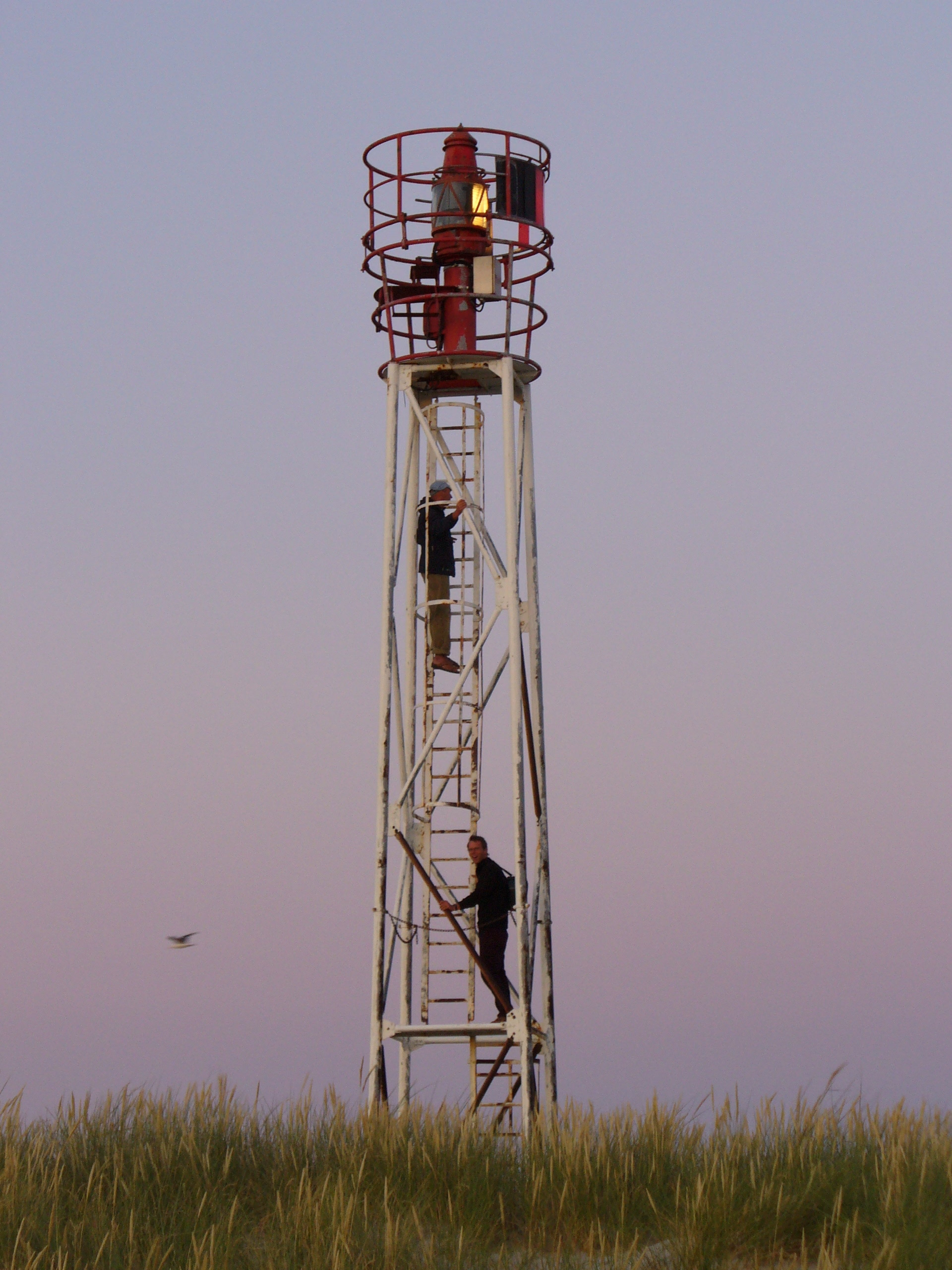
Wriakhörn Lighthouse
Nebel, Germany
Das Leitfeuer Wriakhörn war ein Leitfeuer an der deutschen Nordseeküste auf der schleswig-holsteinischen Insel Amrum. Es sicherte bis zu seiner Abschaltung das Kniepfahrwasser vor dem Kniepsand. Der rund 17 Meter hohe Gittermast stand etwa 550 Meter vom Leuchtturm Amrum entfernt südwestlich auf den Dünen.
- Category
- Photo Spots
- Location
- Nebel, Germany
- Coordinates
- 54.62623, 8.35237
- How to get there
- Google MapsApple MapsOpenStreetMap
- Wikidata
- Q30275539
What is Wriakhörn Lighthouse?
Wriakhörn Lighthouse is a Photo Spots place on VeroMaps. Other places close by: Amrum Lighthouse, Nebel Lighthouse, Wittdün lighthouse, Dolmen of Nebel.
Where is Wriakhörn Lighthouse?
Wriakhörn Lighthouse is in Nebel, Germany. Coordinates: 54.62623, 8.35237.
How do I get to Wriakhörn Lighthouse?
Wriakhörn Lighthouse is at Nebel, Germany (54.62623, 8.35237). Enter these coordinates in Google Maps, Apple Maps or OpenStreetMap for walking, cycling or driving directions.