Forgotten History
Werdenfels Castle
Schloßanger Ruine Werdenfels, Germany
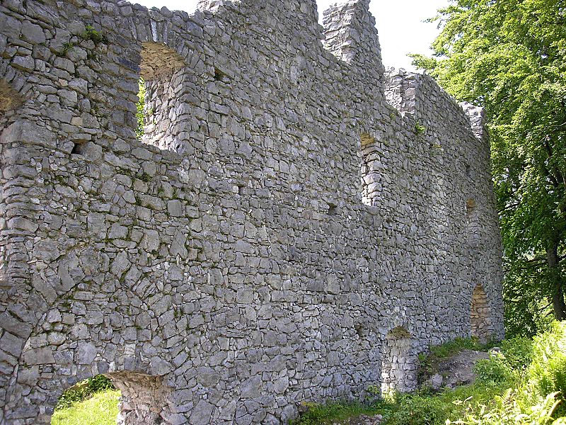
The ruins of Werdenfels Castle (German: Burg Werdenfels) stand about 80 metres above the Loisach valley between Garmisch and Farchant in the county of Garmisch-Partenkirchen in Upper Bavaria. The spur castle was used until 1632 as the administrative centre of the County of Werdenfels, but began to fall into disrepair thereafter.
- Category
- Forgotten History
- Location
- Schloßanger Ruine Werdenfels, Germany
- Coordinates
- 47.51650, 11.09190
- How to get there
- Google MapsApple MapsOpenStreetMap
- Wikidata
- Q1014546
What is Werdenfels Castle?
Werdenfels Castle is a Forgotten History place on VeroMaps. Other places close by: Bankgasse 5, Frickenhöhle, Edelweiss Lodge and Resort, Ettal Abbey.
Where is Werdenfels Castle?
Werdenfels Castle is in Schloßanger Ruine Werdenfels, Germany. Coordinates: 47.51650, 11.09190.
How do I get to Werdenfels Castle?
Werdenfels Castle is at Schloßanger Ruine Werdenfels, Germany (47.51650, 11.09190). Enter these coordinates in Google Maps, Apple Maps or OpenStreetMap for walking, cycling or driving directions.