Forgotten History
Walls of Malmantile
Malmantile, Italy
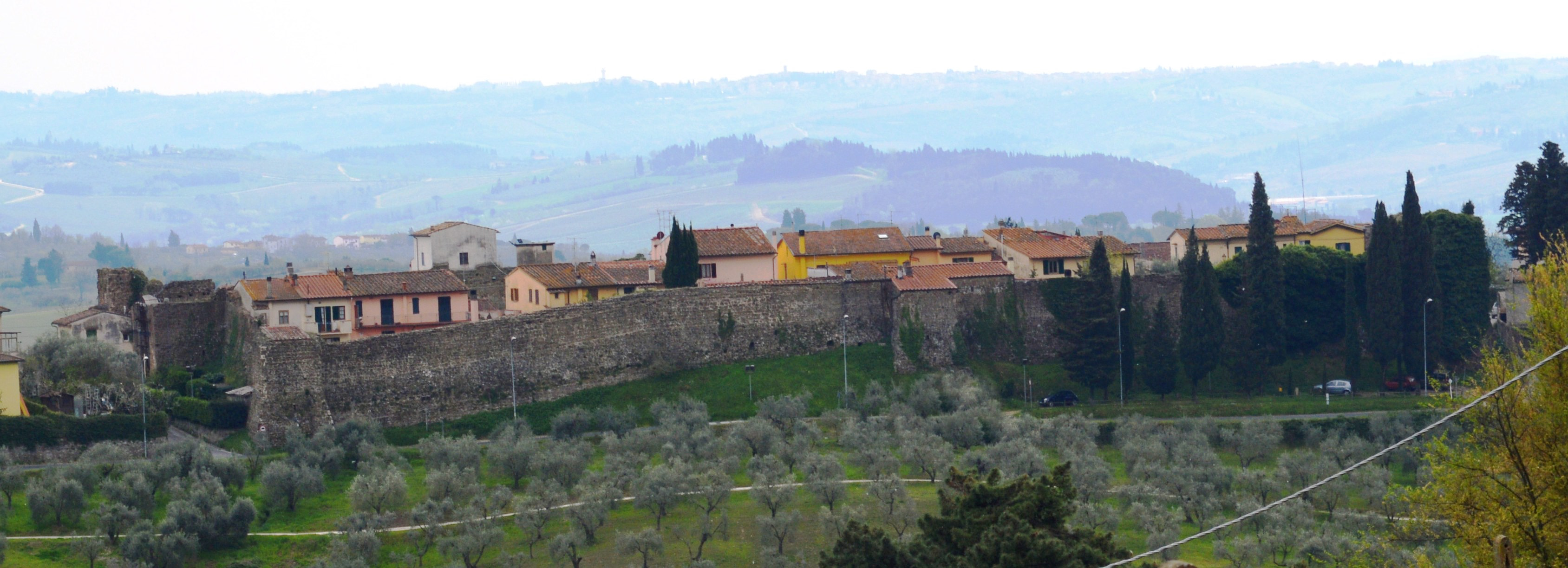
Les murailles de Malmantile (en italien : Mura di Malmantile) constituent la structure défensive du centre historique de Malmantile, une frazione de la commune de Lastra a Signa (ville métropolitaine de Florence) en Toscane. C'est l'un des meilleurs exemples de village médiéval fortifié en Toscane.
- Category
- Forgotten History
- Location
- Malmantile, Italy
- Coordinates
- 43.74780, 11.07339
- How to get there
- Google MapsApple MapsOpenStreetMap
- Wikidata
- Q3867275
What is Walls of Malmantile?
Walls of Malmantile is a Forgotten History place on VeroMaps. Other places close by: Walls of Lastra a Signa, Castello di Montegufoni, Castello dei Conti Guidi, Manifattura Tabacchi (Firenze).
Where is Walls of Malmantile?
Walls of Malmantile is in Malmantile, Italy. Coordinates: 43.74780, 11.07339.
How do I get to Walls of Malmantile?
Walls of Malmantile is at Malmantile, Italy (43.74780, 11.07339). Enter these coordinates in Google Maps, Apple Maps or OpenStreetMap for walking, cycling or driving directions.