Photo corners
Øvre Pasvik National Park
Sør-Varanger Municipality, Norway
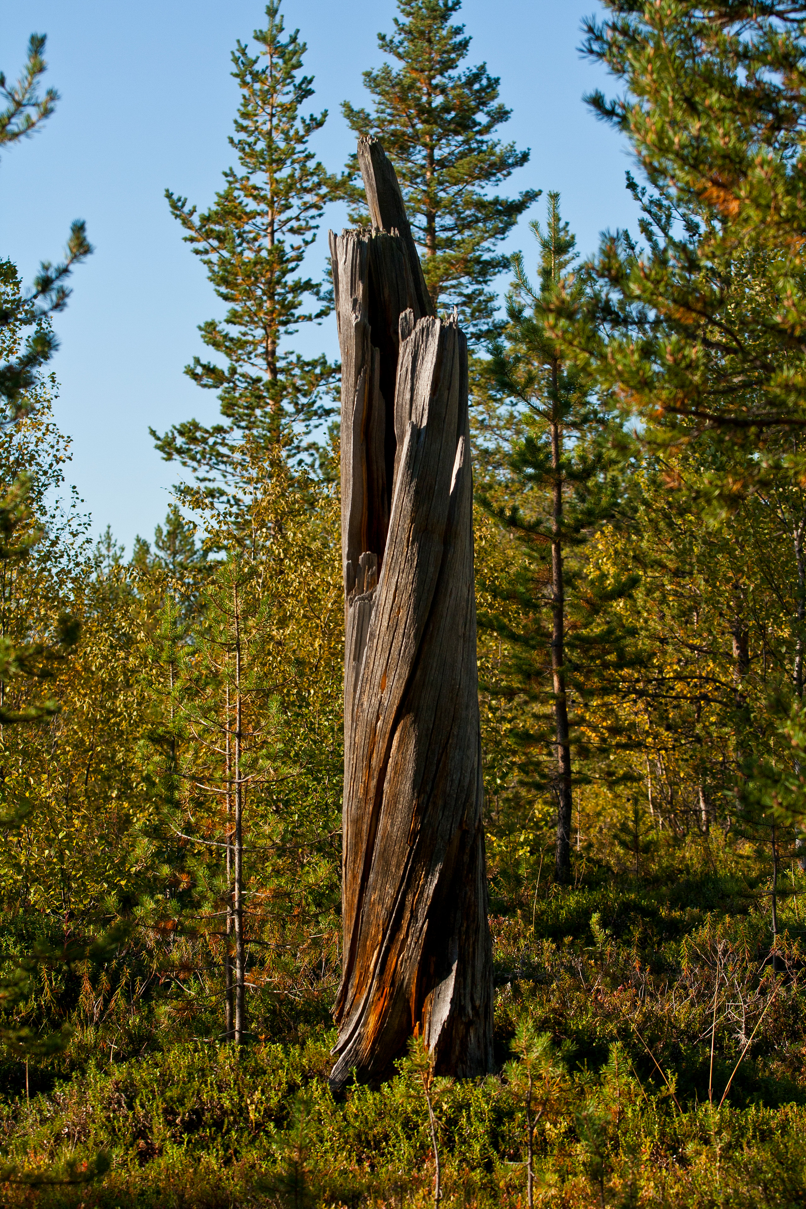
Øvre Pasvik National Park (Norwegian: Øvre Pasvik nasjonalpark, Northern Sami: Báhčaveaji álbmotmeahcci, Skolt Sami: Paččjooǥǥ meermeäʹcc) is located in the southeastern part of the Pasvikdalen valley in southern Sør-Varanger Municipality in Finnmark county, Norway.
- Category
- Photo Spots
- Location
- Sør-Varanger Municipality, Norway
- Coordinates
- 69.09351, 28.95053
- How to get there
- Google MapsApple MapsOpenStreetMap
- Wikidata
- Q317253
What is Øvre Pasvik National Park?
Øvre Pasvik National Park is a Photo Spots place on VeroMaps. Other places close by: Bjørnevatn mine, Bøkfjord Lighthouse.
Where is Øvre Pasvik National Park?
Øvre Pasvik National Park is in Sør-Varanger Municipality, Norway. Coordinates: 69.09351, 28.95053.
How do I get to Øvre Pasvik National Park?
Øvre Pasvik National Park is at Sør-Varanger Municipality, Norway (69.09351, 28.95053). Enter these coordinates in Google Maps, Apple Maps or OpenStreetMap for walking, cycling or driving directions.