Local Legends
Vongshøj
Tønder Municipality, Denmark
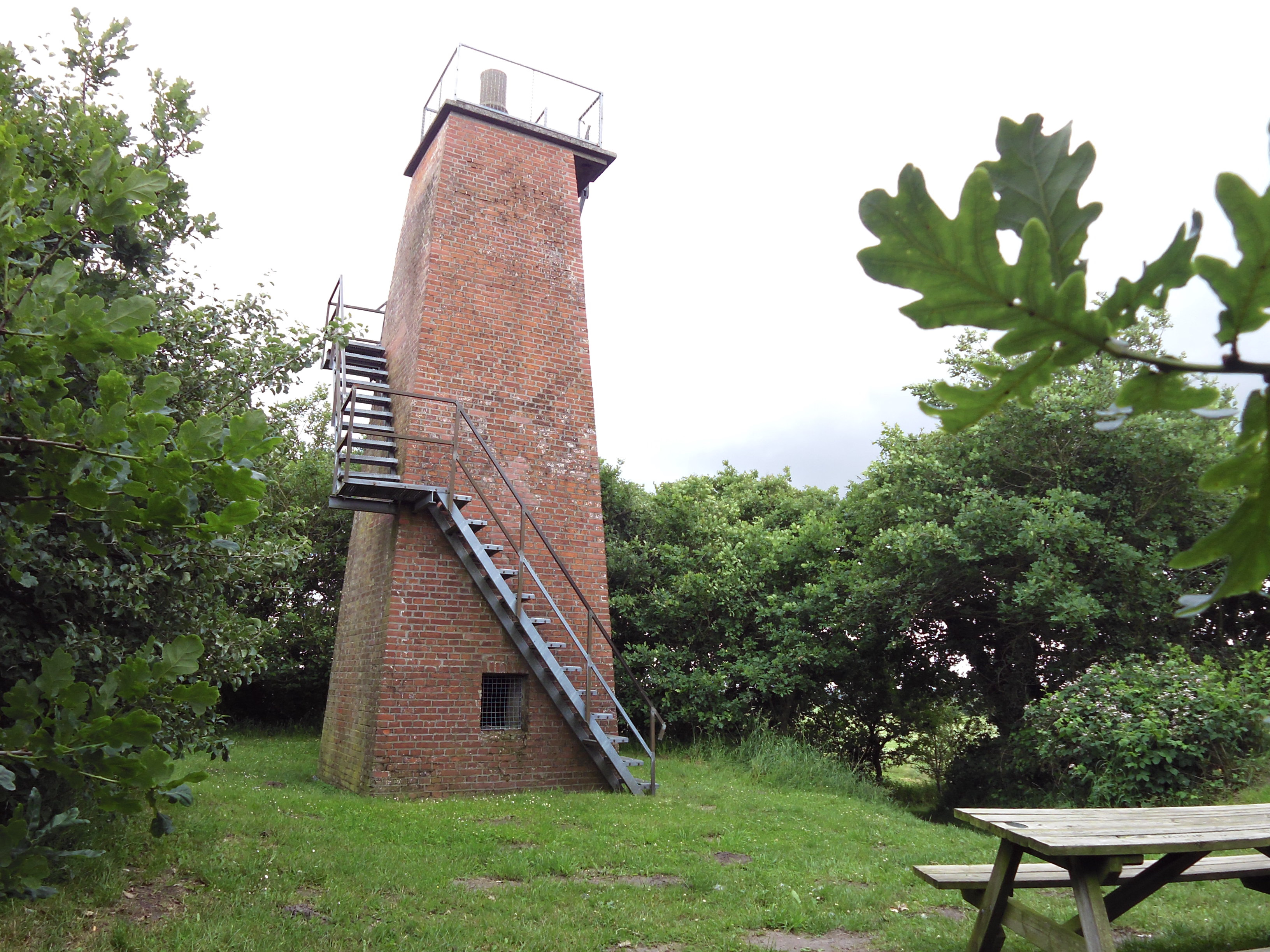
Vongshøj er med 62 m det højeste punkt i Løgumbjerge i det vestlige Sønderjylland, 3 km nordvest for Løgumkloster. De øverste 4,75 m udgøres af en 33 m bred gravhøj. Under Første verdenskrig opførte de tyske væbnede styrker på toppen en signalstation, der i 1923, efter Genforeningen blev ombygget til et udsigtstårn, der stadig står der i dag.
- Category
- Local Legends
- Location
- Tønder Municipality, Denmark
- Coordinates
- 55.08803, 8.92155
- How to get there
- Google MapsApple MapsOpenStreetMap
- Wikidata
- Q1658360
What is Vongshøj?
Vongshøj is a Local Legends place on VeroMaps. Other places close by: Trøjborg, Ballum Slusekro, Tønder Watertower, Grøngaard Jagtslot.
Where is Vongshøj?
Vongshøj is in Tønder Municipality, Denmark. Coordinates: 55.08803, 8.92155.
How do I get to Vongshøj?
Vongshøj is at Tønder Municipality, Denmark (55.08803, 8.92155). Enter these coordinates in Google Maps, Apple Maps or OpenStreetMap for walking, cycling or driving directions.