Photo corners
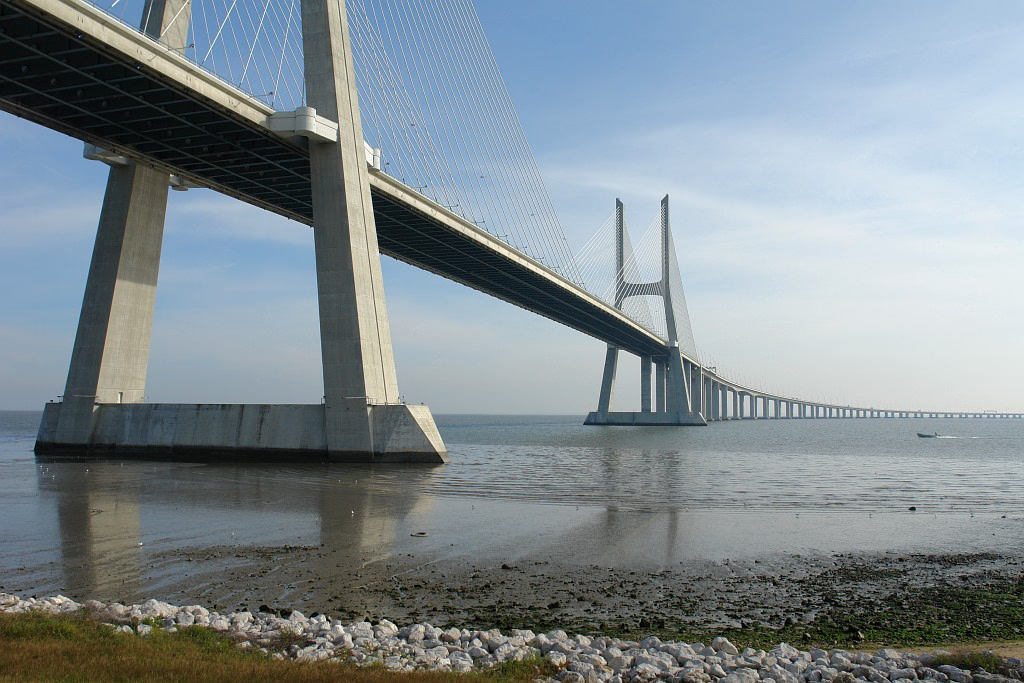
Vasco da Gama Bridge
Alcochete, Portugal
The Vasco da Gama Bridge (Portuguese: Ponte Vasco da Gama) is a cable-stayed bridge flanked by viaducts that spans the Tagus River in Parque das Nações in Lisbon, the capital of Portugal. It is the second longest bridge in Europe, after the Crimean Bridge, and was the longest bridge for a while. It is also the longest bridge in the European Union. It was built to alleviate the congestion on Lisbon's 25 de Abril Bridge, and eliminate the need for traffic between the country's northern and southern regions to pass through the capital city. Construction began in February 1995; the bridge was opened to traffic on 29 March 1998 in time for Expo 98, the World's Fair that celebrated the 500th anniversary of the discovery by Vasco da Gama of the sea route from Europe to India. Along with the 25 de Abril Bridge, the Vasco da Gama is one of two bridges that span the Tagus River in Lisbon.
- Category
- Photo Spots
- Location
- Alcochete, Portugal
- Coordinates
- 38.76219, -9.04331
- How to get there
- Google MapsApple MapsOpenStreetMap
- Wikidata
- Q233737
What is Vasco da Gama Bridge?
Vasco da Gama Bridge is a Photo Spots place on VeroMaps. Other places close by: Capela de Nossa Senhora do Monte, Castelo de Pirescoxe, Castle of Saint George, Capela de Nossa Senhora da Saúde (Lisbon).
Where is Vasco da Gama Bridge?
Vasco da Gama Bridge is in Alcochete, Portugal. Coordinates: 38.76219, -9.04331.
How do I get to Vasco da Gama Bridge?
Vasco da Gama Bridge is at Alcochete, Portugal (38.76219, -9.04331). Enter these coordinates in Google Maps, Apple Maps or OpenStreetMap for walking, cycling or driving directions.