Urbex & Abandoned
Václav
Bělá nad Radbuzou, Czech Republic
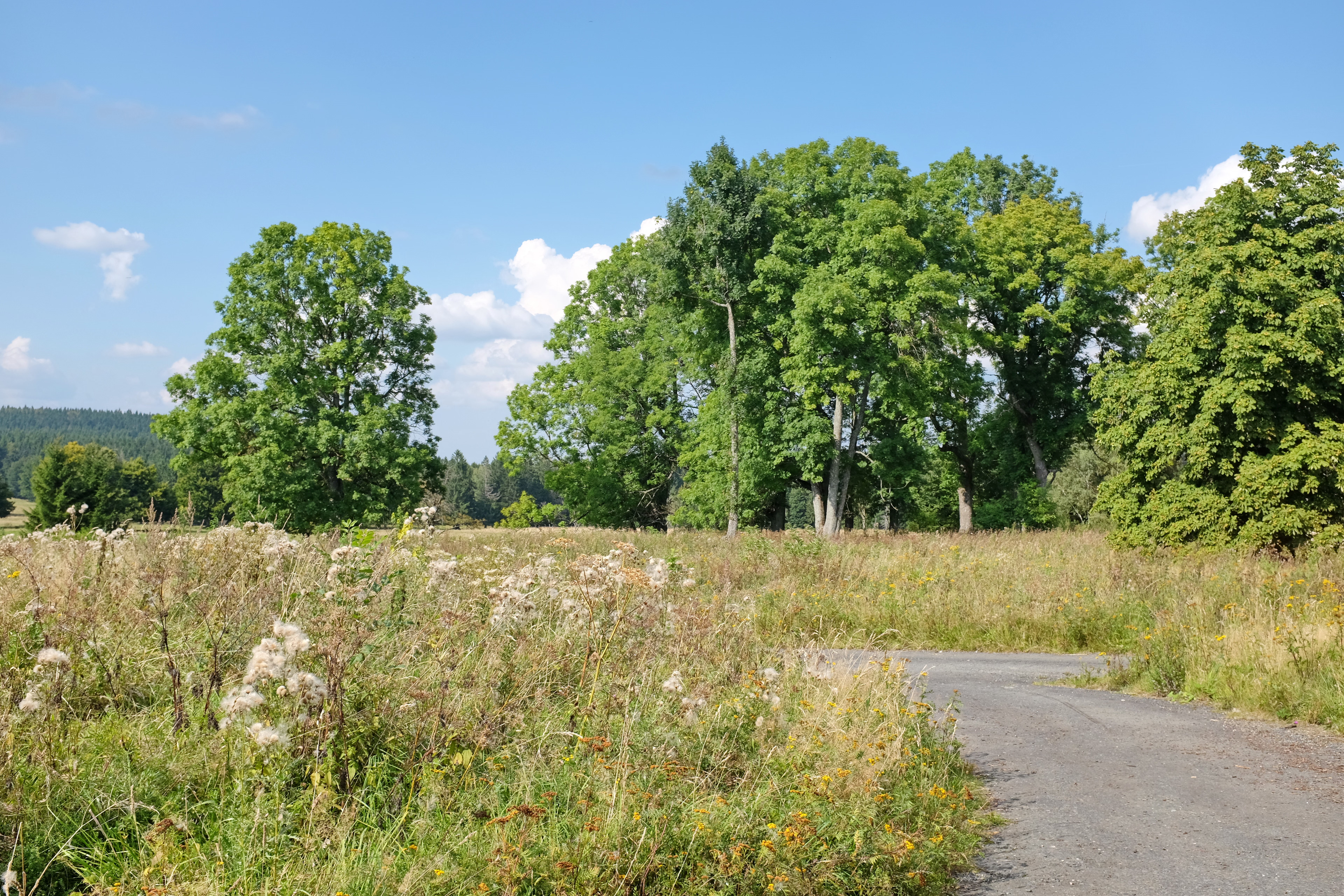
Václav (deutsch Wenzelsdorf) ist eine Wüstung auf dem Kataster des Ortsteiles Plöss von Bělá nad Radbuzou im westböhmischen Okres Domažlice in Tschechien.
- Category
- Urbex & Abandoned
- Location
- Bělá nad Radbuzou, Czech Republic
- Coordinates
- 49.53748, 12.62934
- How to get there
- Google MapsApple MapsOpenStreetMap
- Wikidata
- Q14602160
What is Václav?
Václav is a Urbex & Abandoned place on VeroMaps. Other places close by: Rabov, Burgruine Reichenstein, Nový mlýn (Rybník), Mostek.
Where is Václav?
Václav is in Bělá nad Radbuzou, Czech Republic. Coordinates: 49.53748, 12.62934.
How do I get to Václav?
Václav is at Bělá nad Radbuzou, Czech Republic (49.53748, 12.62934). Enter these coordinates in Google Maps, Apple Maps or OpenStreetMap for walking, cycling or driving directions.