Forgotten History
Uniejów Castle
Uniejów, Poland
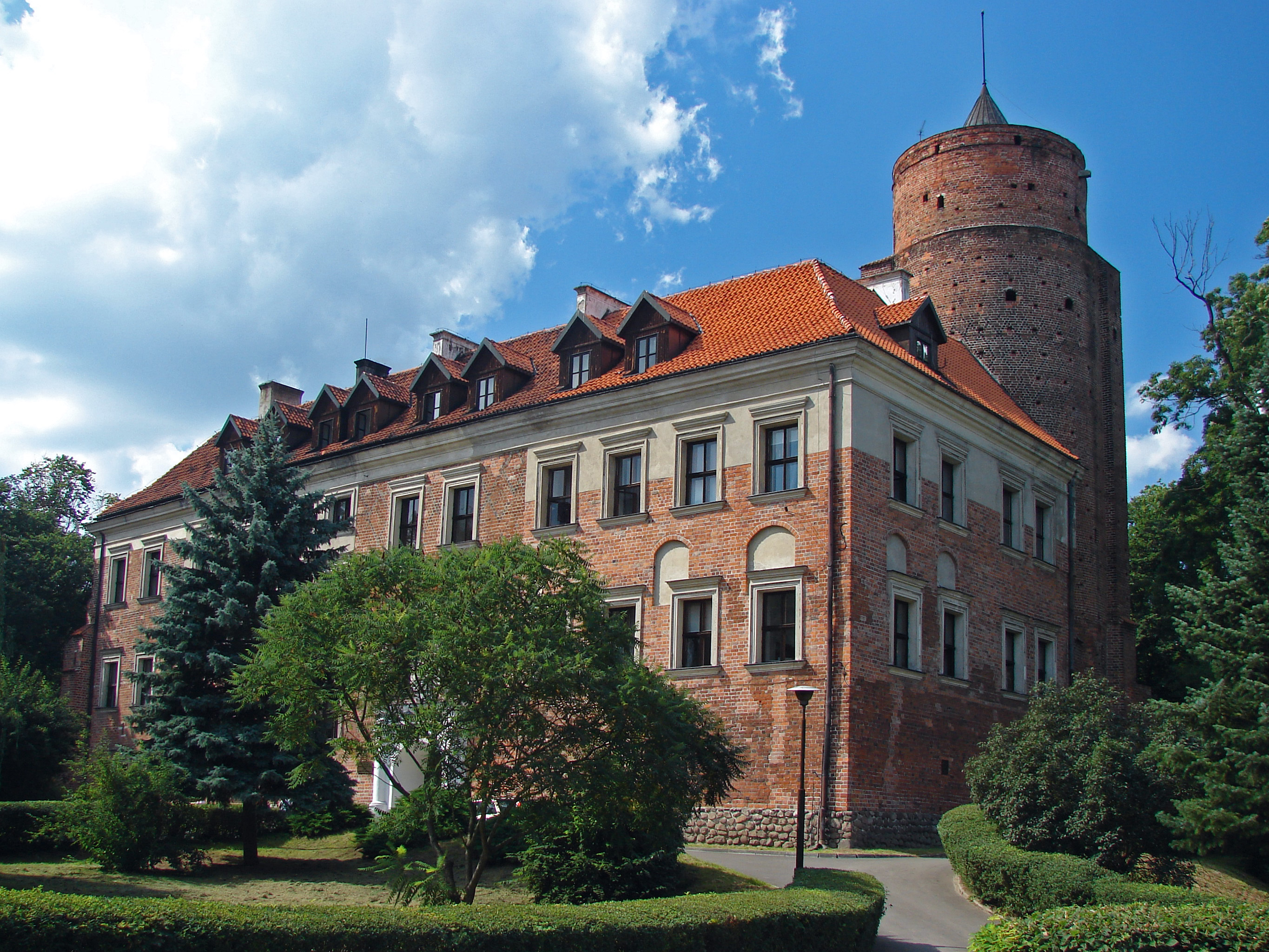
Uniejów Castle (Polish: Zamek w Uniejowie) is a 14th-century bishops' castle located on left bank of the Warta River in Uniejów, Łódź Voivodeship, Poland. It is considered one of the main places of interest in the town.
- Category
- Forgotten History
- Location
- Uniejów, Poland
- Coordinates
- 51.97290, 18.79150
- How to get there
- Google MapsApple MapsOpenStreetMap
- Wikidata
- Q9386755
What is Uniejów Castle?
Uniejów Castle is a Forgotten History place on VeroMaps. Other places close by: Adamów Coal Mine, Castle Grudziński in Poddębice, Besiekiery Castle, Former faience and porcelain factory in Koło.
Where is Uniejów Castle?
Uniejów Castle is in Uniejów, Poland. Coordinates: 51.97290, 18.79150.
How do I get to Uniejów Castle?
Uniejów Castle is at Uniejów, Poland (51.97290, 18.79150). Enter these coordinates in Google Maps, Apple Maps or OpenStreetMap for walking, cycling or driving directions.