Night Life
Turville Public House
Oxford, United Kingdom
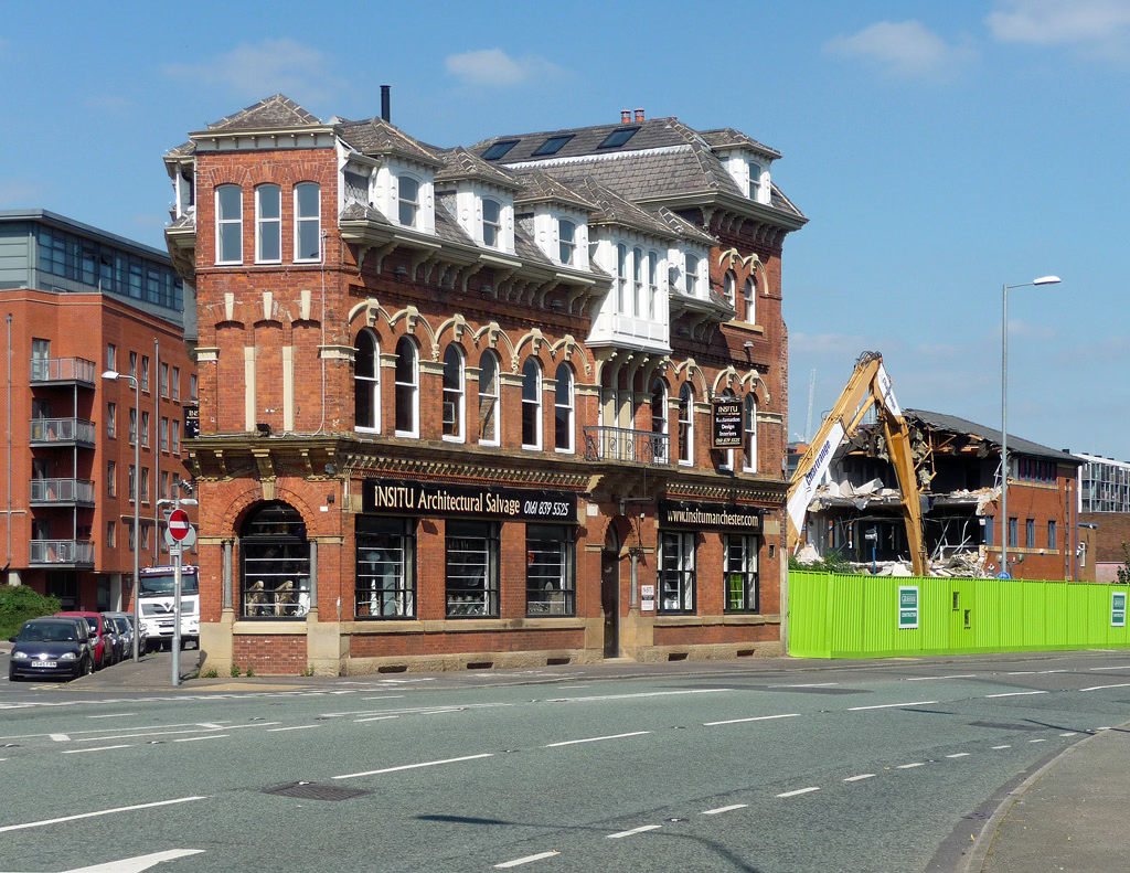
The Turville (now trading as Insitu Manchester) is a Grade II listed former public house on Chester Road in Hulme, an inner city area of Manchester, England. Probably built around 1870, it later ceased trading as a pub and has been occupied since at least 1994 by Insitu, an architectural salvage and antiques business.
- Category
- Night Life
- Location
- Oxford, United Kingdom
- Coordinates
- 53.46999, -2.26496
- How to get there
- Google MapsApple MapsOpenStreetMap
- Wikidata
- Q26571959
What is Turville Public House?
Turville Public House is a Night Life place on VeroMaps. Other places close by: Boardwalk, The Briton's Protection, 19, 20 And 21, The Crescent, Peveril Of The Peak Public House.
Where is Turville Public House?
Turville Public House is in Oxford, United Kingdom. Coordinates: 53.46999, -2.26496.
How do I get to Turville Public House?
Turville Public House is at Oxford, United Kingdom (53.46999, -2.26496). Enter these coordinates in Google Maps, Apple Maps or OpenStreetMap for walking, cycling or driving directions.