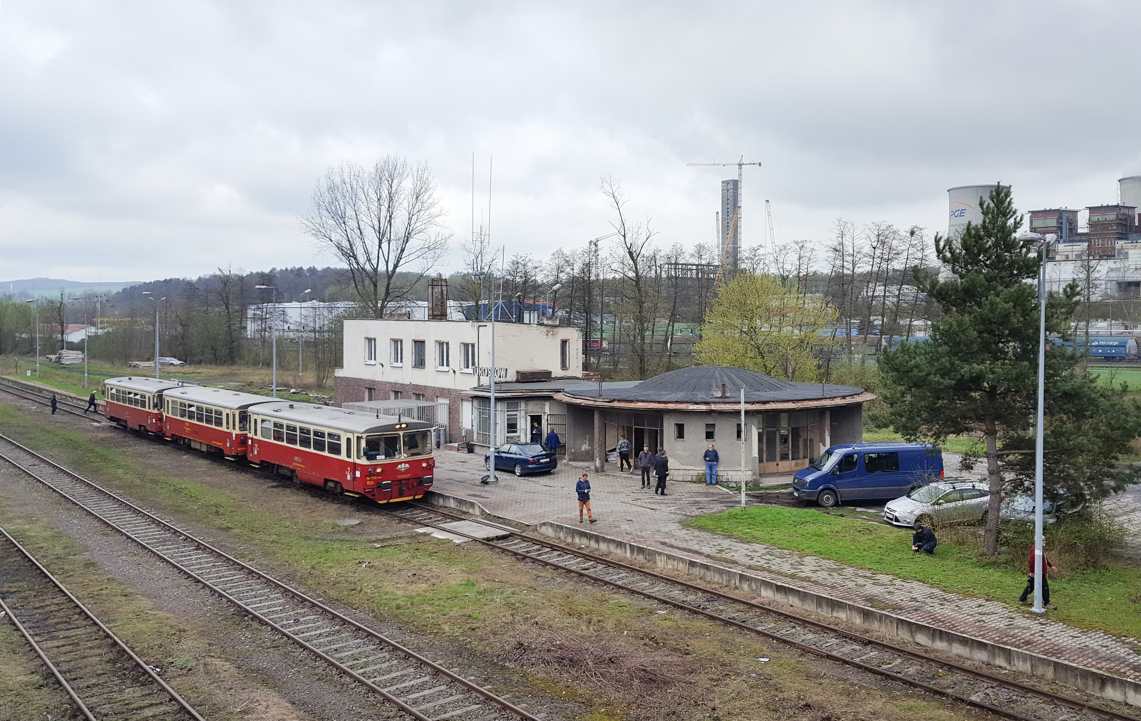
Urbex & Abandoned
Turoszów
Bogatynia, Poland
Turoszów (deutsch Türchau) ist ein Ort in der Gemeinde Bogatynia, an der Lausitzer Neiße im südwestlichen Zipfel Polens (Woiwodschaft Niederschlesien), an der Grenze zu Deutschland. Ortsbestimmend ist das nahegelegene Kraftwerk Turów.
- Category
- Urbex & Abandoned
- Location
- Bogatynia, Poland
- Coordinates
- 50.93056, 14.92361
- How to get there
- Google MapsApple MapsOpenStreetMap
- Wikidata
- Q2461546
What is Turoszów?
Turoszów is a Urbex & Abandoned place on VeroMaps. Other places close by: Castle of Ronow, St. Marienthal Abbey, Heřmanická rozhledna, Railway viaduct Zittau–Porajów.
Where is Turoszów?
Turoszów is in Bogatynia, Poland. Coordinates: 50.93056, 14.92361.
How do I get to Turoszów?
Turoszów is at Bogatynia, Poland (50.93056, 14.92361). Enter these coordinates in Google Maps, Apple Maps or OpenStreetMap for walking, cycling or driving directions.