Forgotten History
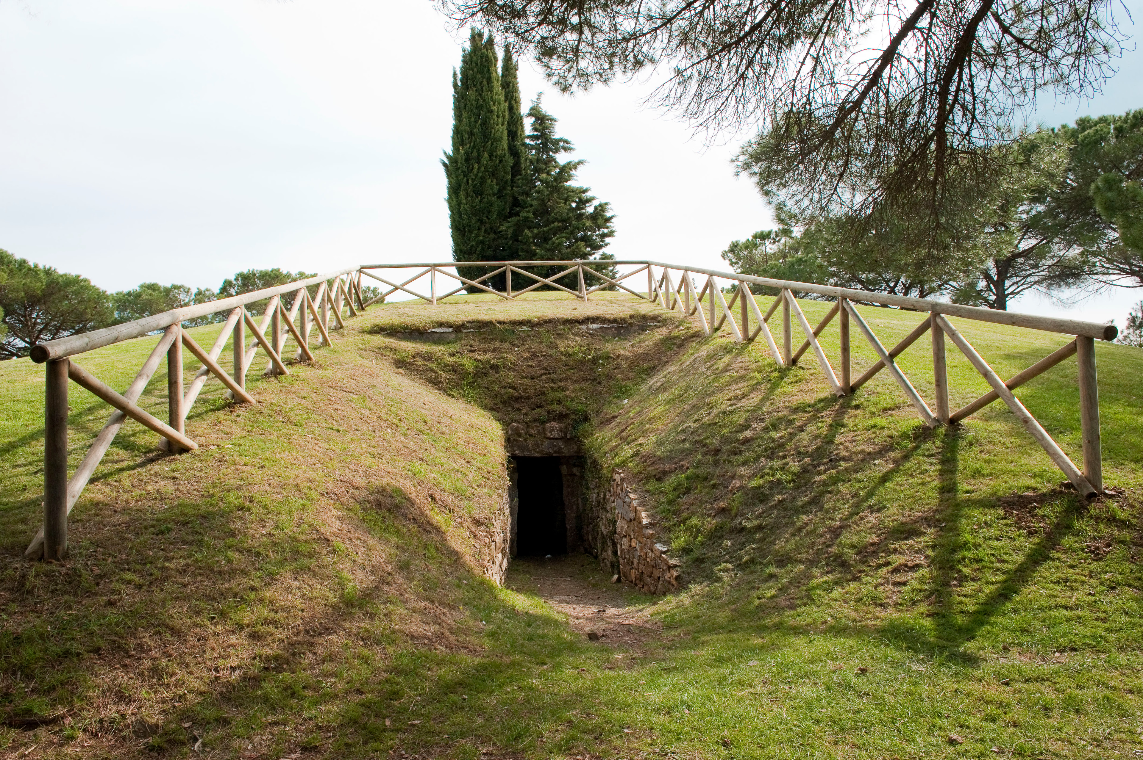
Tumulo di Montecalvario
Province of Siena, Italy
Le tumulus de Montecalvario est une tombe étrusque à tumulus datant des VIIe et VIe siècles av. J. -C. et située dans la commune de Castellina in Chianti (province de Sienne) en Toscane. Découvert (et pillé) au XVIe siècle, il fait l'objet d'un dessin de Léonard de Vinci.
- Category
- Forgotten History
- Location
- Province of Siena, Italy
- Coordinates
- 43.47250, 11.28380
- How to get there
- Google MapsApple MapsOpenStreetMap
- Wikidata
- Q370713
What is Tumulo di Montecalvario?
Tumulo di Montecalvario is a Forgotten History place on VeroMaps. Other places close by: Castello di Monternano, Santa Maria Maddalena dei Pazzi, Castello di Staggia Senese, Castel Pietraio.
Where is Tumulo di Montecalvario?
Tumulo di Montecalvario is in Province of Siena, Italy. Coordinates: 43.47250, 11.28380.
How do I get to Tumulo di Montecalvario?
Tumulo di Montecalvario is at Province of Siena, Italy (43.47250, 11.28380). Enter these coordinates in Google Maps, Apple Maps or OpenStreetMap for walking, cycling or driving directions.