Local Legends
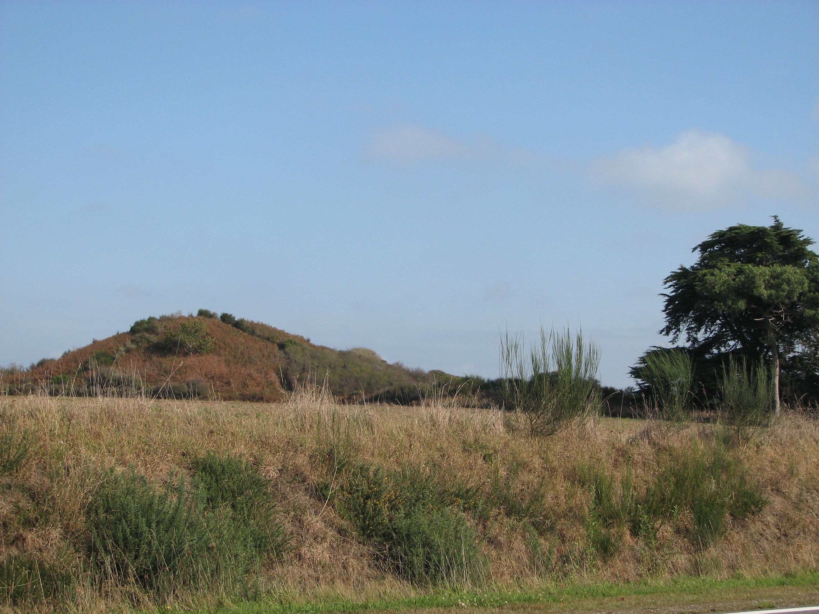
Tumiac tumulus
Thumiac, France
Der Tumulus von Tumiac (auch Butte de César genannt) ist ein Hügelgrab in der Gemeinde Arzon auf der Rhuys-Halbinsel im Département Morbihan in der Bretagne in Frankreich. Es wurde 1853 erstmals archäologisch untersucht. Der etwa 15,0 m hohe Tumulus hat einen Umfang von etwa 200 m, die Maße sind 50 m in der Breite und 60 m in der Länge.
- Category
- Local Legends
- Location
- Thumiac, France
- Coordinates
- 47.54103, -2.87208
- How to get there
- Google MapsApple MapsOpenStreetMap
- Wikidata
- Q3542056
What is Tumiac tumulus?
Tumiac tumulus is a Local Legends place on VeroMaps. Other places close by: Kermaillard menhir, Le Fuseau de Jeannette, Port-Navalo lighthouse, menhir de Pen-Guen.
Where is Tumiac tumulus?
Tumiac tumulus is in Thumiac, France. Coordinates: 47.54103, -2.87208.
How do I get to Tumiac tumulus?
Tumiac tumulus is at Thumiac, France (47.54103, -2.87208). Enter these coordinates in Google Maps, Apple Maps or OpenStreetMap for walking, cycling or driving directions.