Photo corners
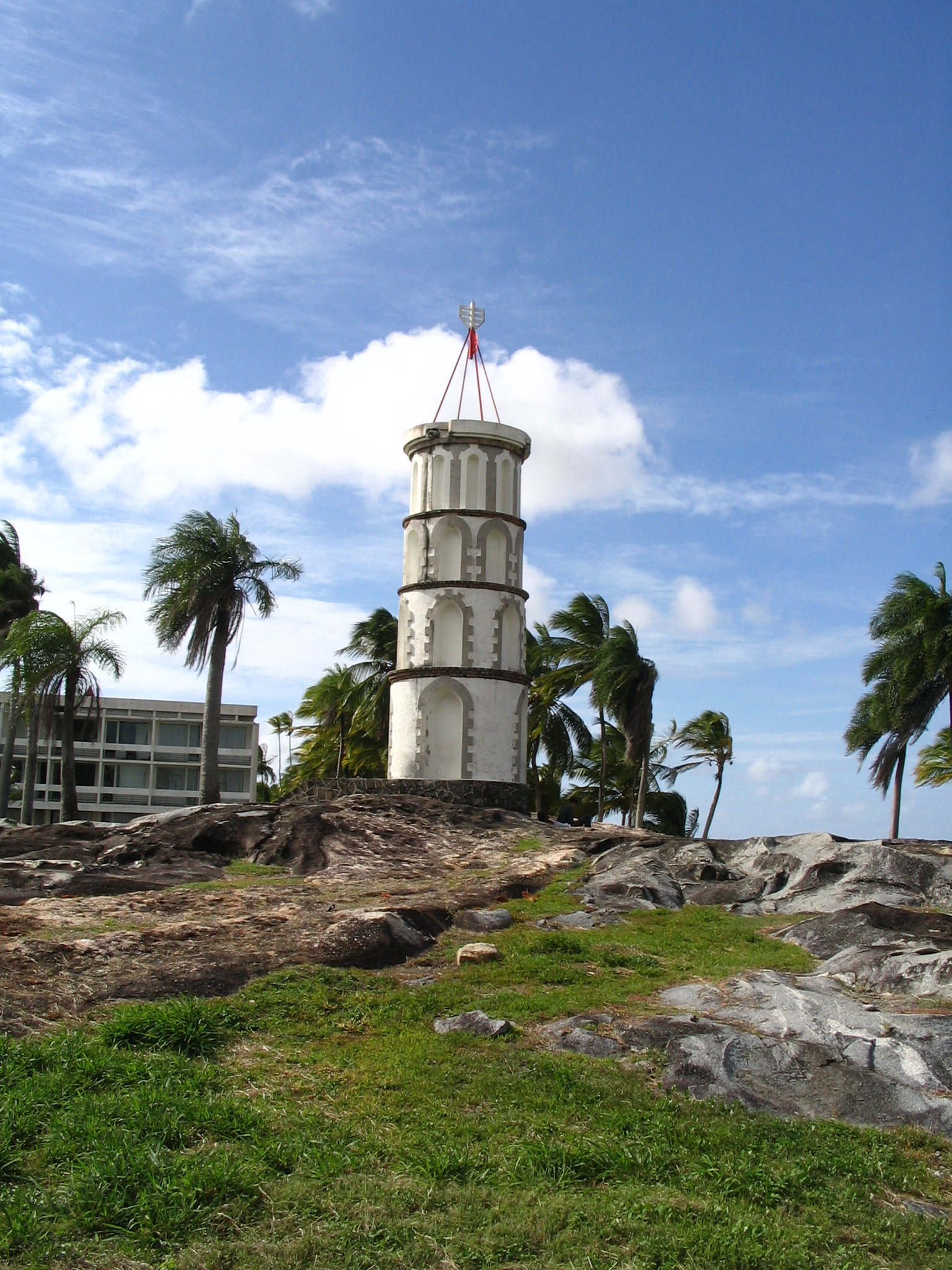
Tour Dreyfus
Kourou, France
Der Dreyfus-Turm ist ein auf einem Felsen an der Küste von Kourou in Französisch-Guayana befindlicher Funkturm. Der nach Alfred Dreyfus (1859–1935), dem berühmtesten Insassen der Strafkolonie in Französisch-Guayana benannte Turm wurde im Jahre 1856 eröffnet und diente ursprünglich der Nachrichtenübertragung.
- Category
- Photo Spots
- Location
- Kourou, France
- Coordinates
- 5.15961, -52.62665
- How to get there
- Google MapsApple MapsOpenStreetMap
- Wikidata
- Q28374564
What is Tour Dreyfus?
Tour Dreyfus is a Photo Spots place on VeroMaps. Other places close by: Chapelle de l'île Royale, phare de l'Enfant Perdu, fontaine de Montravel, Jardin botanique de Cayenne.
Where is Tour Dreyfus?
Tour Dreyfus is in Kourou, France. Coordinates: 5.15961, -52.62665.
How do I get to Tour Dreyfus?
Tour Dreyfus is at Kourou, France (5.15961, -52.62665). Enter these coordinates in Google Maps, Apple Maps or OpenStreetMap for walking, cycling or driving directions.