Photo corners
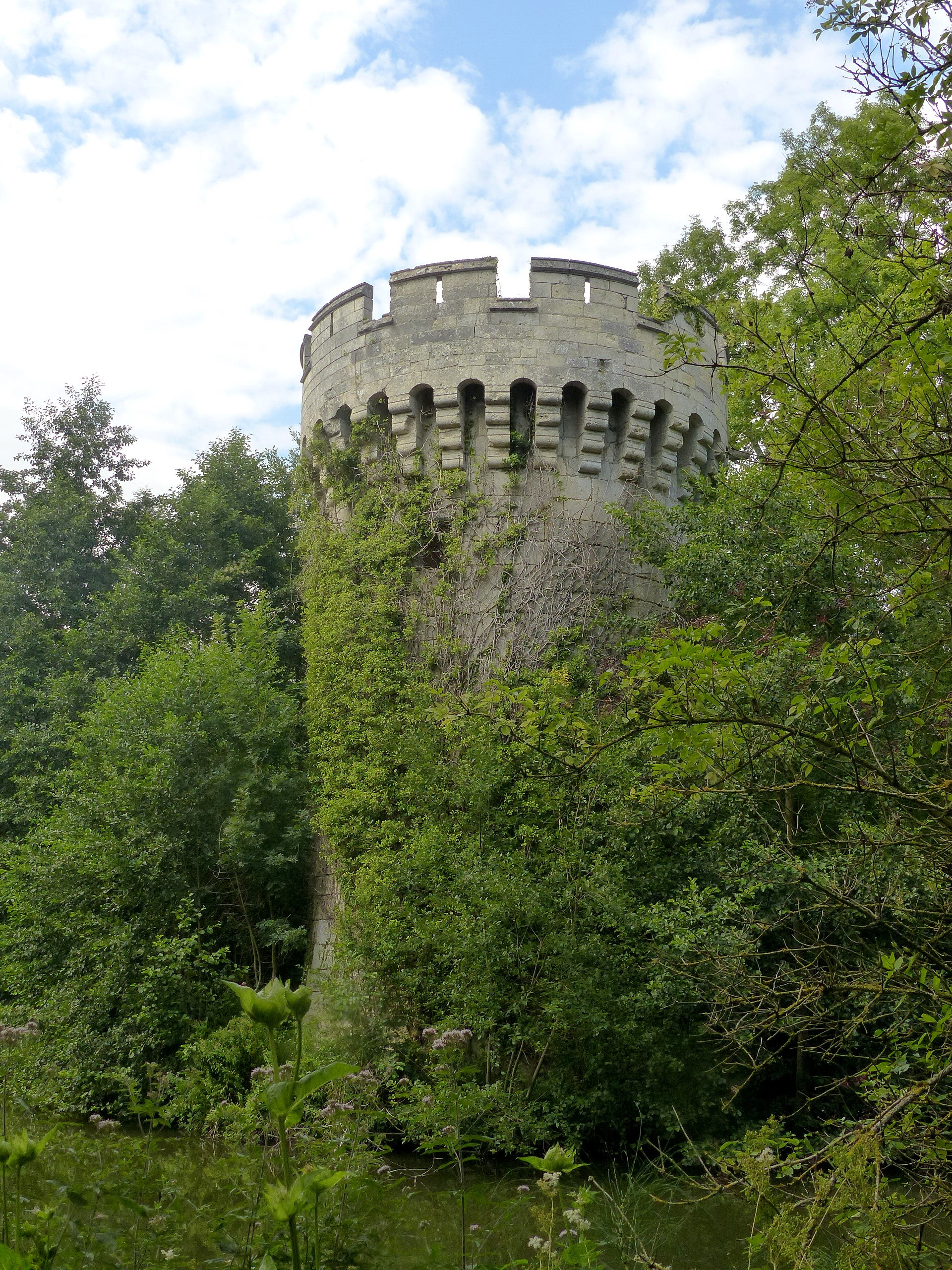
Tour de Vaurseine
Bruyeres-et-Montberault, France
Der Turm von Vaurseine befindet sich östlich von Vaurseine und zwölf Kilometer südöstlich von Laon. Er ist der letzte Rest einer mittelalterlichen Burg von Vaurseine, die auf einer kleinen Insel in einem künstlichen See lag. Angeblich stammt er aus dem 15. Jahrhundert; einige Elemente lassen jedoch eine Entstehung schon im 13.
- Category
- Photo Spots
- Location
- Bruyeres-et-Montberault, France
- Coordinates
- 49.49790, 3.73878
- How to get there
- Google MapsApple MapsOpenStreetMap
- Wikidata
- Q3533466
What is Tour de Vaurseine?
Tour de Vaurseine is a Photo Spots place on VeroMaps. Other places close by: Caverne du Dragon, Arboretum de Craonne, Carrière de Froidmont, Chapelle Saint-Rigobert de Gernicourt.
Where is Tour de Vaurseine?
Tour de Vaurseine is in Bruyeres-et-Montberault, France. Coordinates: 49.49790, 3.73878.
How do I get to Tour de Vaurseine?
Tour de Vaurseine is at Bruyeres-et-Montberault, France (49.49790, 3.73878). Enter these coordinates in Google Maps, Apple Maps or OpenStreetMap for walking, cycling or driving directions.