Photo corners
Tour de Sauvabelin
Canton of Vaud, Switzerland
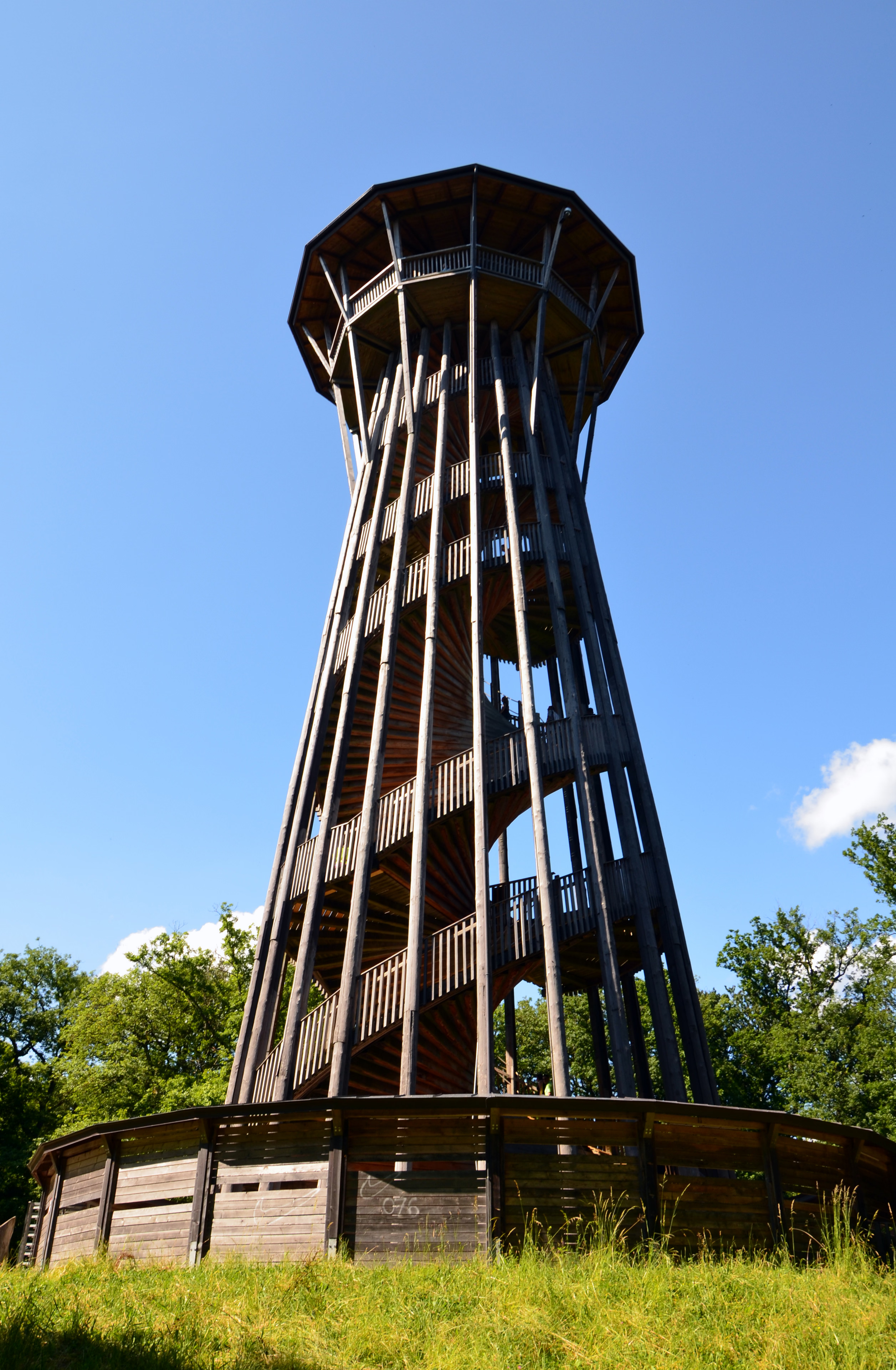
The Tour de Sauvabelin (literally "Tower of Sauvabelin") is a wooden tower located in the Sauvabelin forest in Lausanne, Switzerland. The tower was built in 2003 by Julius Natterer and stands 35 meters high. It offers a panoramic view of the city of Lausanne, Lake Léman, and the surrounding countryside and mountains.
- Category
- Photo Spots
- Location
- Canton of Vaud, Switzerland
- Coordinates
- 46.53526, 6.63852
- How to get there
- Google MapsApple MapsOpenStreetMap
- Wikidata
- Q2227870
What is Tour de Sauvabelin?
Tour de Sauvabelin is a Photo Spots place on VeroMaps. Other places close by: Tridel, Château Saint-Maire, Bessières bridge, Grand Pont.
Where is Tour de Sauvabelin?
Tour de Sauvabelin is in Canton of Vaud, Switzerland. Coordinates: 46.53526, 6.63852.
How do I get to Tour de Sauvabelin?
Tour de Sauvabelin is at Canton of Vaud, Switzerland (46.53526, 6.63852). Enter these coordinates in Google Maps, Apple Maps or OpenStreetMap for walking, cycling or driving directions.