Photo corners
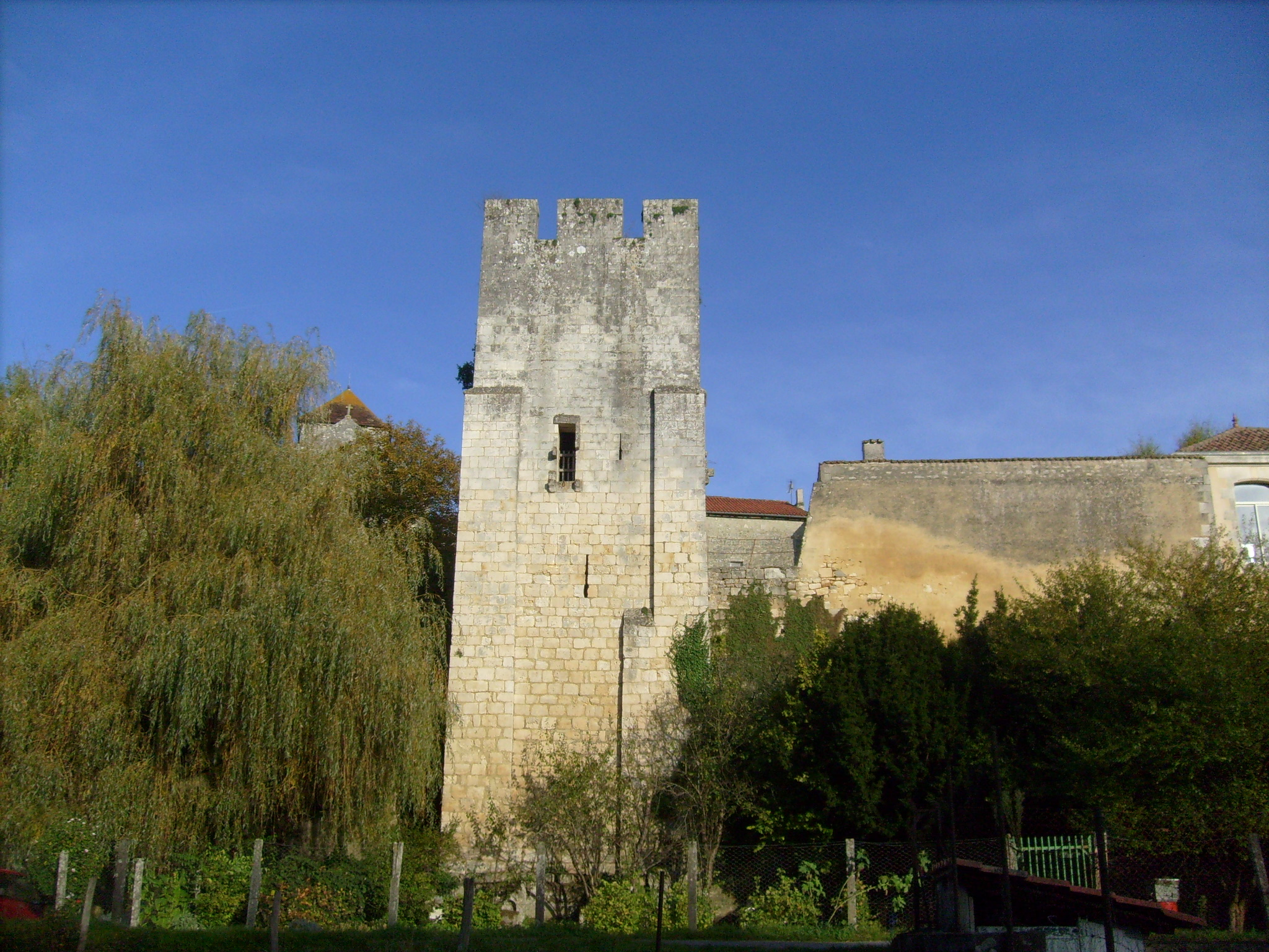
Tour de Saint-Sauvant
Chaniers, France
La tour de Saint-Sauvant se dresse sur un promontoire dominant le village médiéval de Saint-Sauvant, en Charente-Maritime.
- Category
- Photo Spots
- Location
- Chaniers, France
- Coordinates
- 45.73940, -0.50500
- How to get there
- Google MapsApple MapsOpenStreetMap
- Wikidata
- Q3533438
What is Tour de Saint-Sauvant?
Tour de Saint-Sauvant is a Photo Spots place on VeroMaps. Other places close by: Saintes cathedral, Town hall of Saintes, Charente-Maritime, Grotte Marcel Clouet, Porte Saint-Jacques.
Where is Tour de Saint-Sauvant?
Tour de Saint-Sauvant is in Chaniers, France. Coordinates: 45.73940, -0.50500.
How do I get to Tour de Saint-Sauvant?
Tour de Saint-Sauvant is at Chaniers, France (45.73940, -0.50500). Enter these coordinates in Google Maps, Apple Maps or OpenStreetMap for walking, cycling or driving directions.