Forgotten History
Tour de Crest
Crest, France
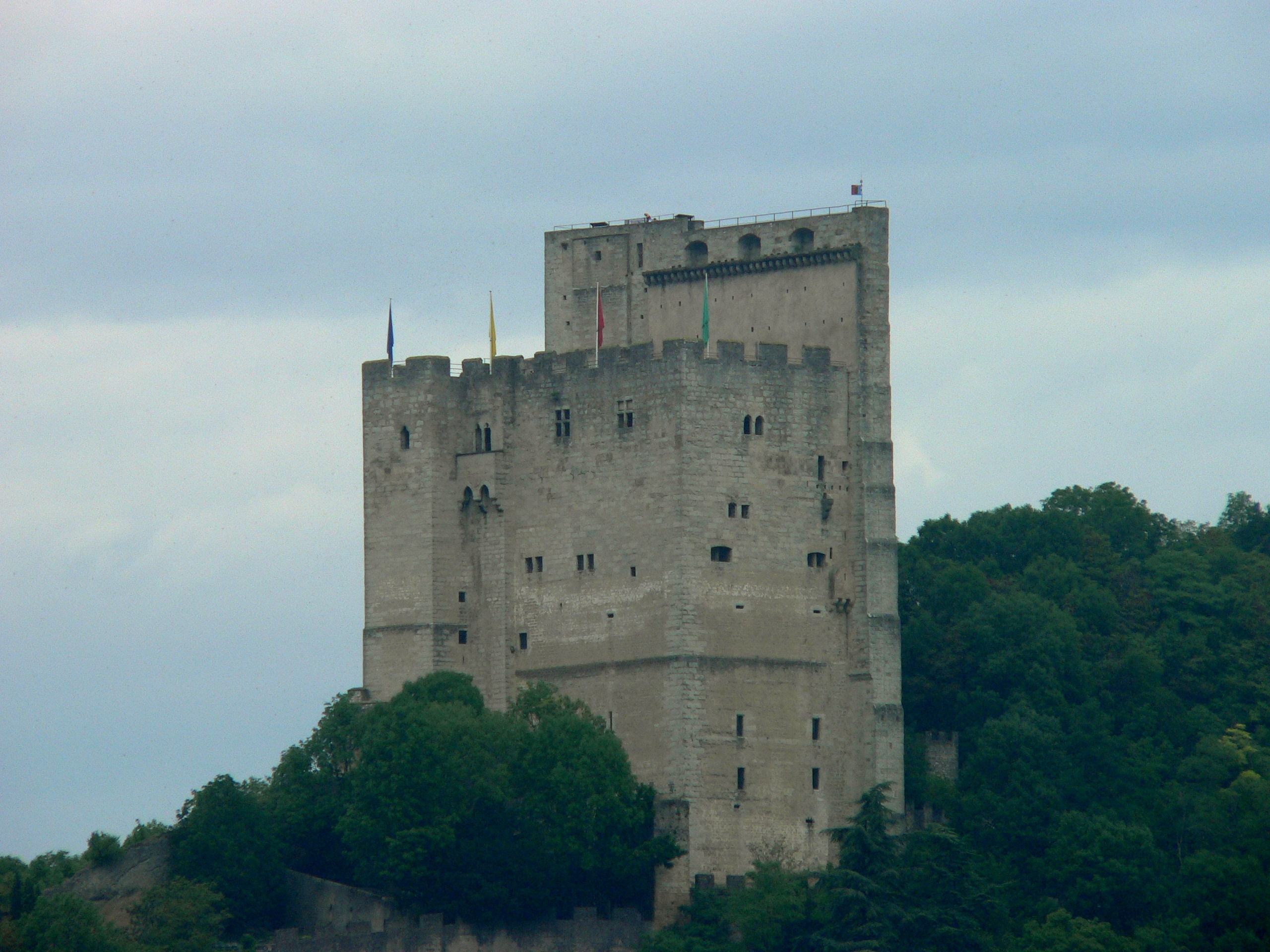
The Tour de Crest (Crest Tower) is the imposing vestige of a castle - the Château de Crest - in the commune of Crest in the Drôme département of France, one of the highest keeps in Europe, if not the highest (52 metres/171 feet).
- Category
- Forgotten History
- Location
- Crest, France
- Coordinates
- 44.73028, 5.02365
- How to get there
- Google MapsApple MapsOpenStreetMap
- Wikidata
- Q1011395
What is Tour de Crest?
Tour de Crest is a Forgotten History place on VeroMaps. Other places close by: Château de Pontaix, Tour de l'Horloge de Baix, Néron cave, Maison Pic.
Where is Tour de Crest?
Tour de Crest is in Crest, France. Coordinates: 44.73028, 5.02365.
How do I get to Tour de Crest?
Tour de Crest is at Crest, France (44.73028, 5.02365). Enter these coordinates in Google Maps, Apple Maps or OpenStreetMap for walking, cycling or driving directions.