Photo corners
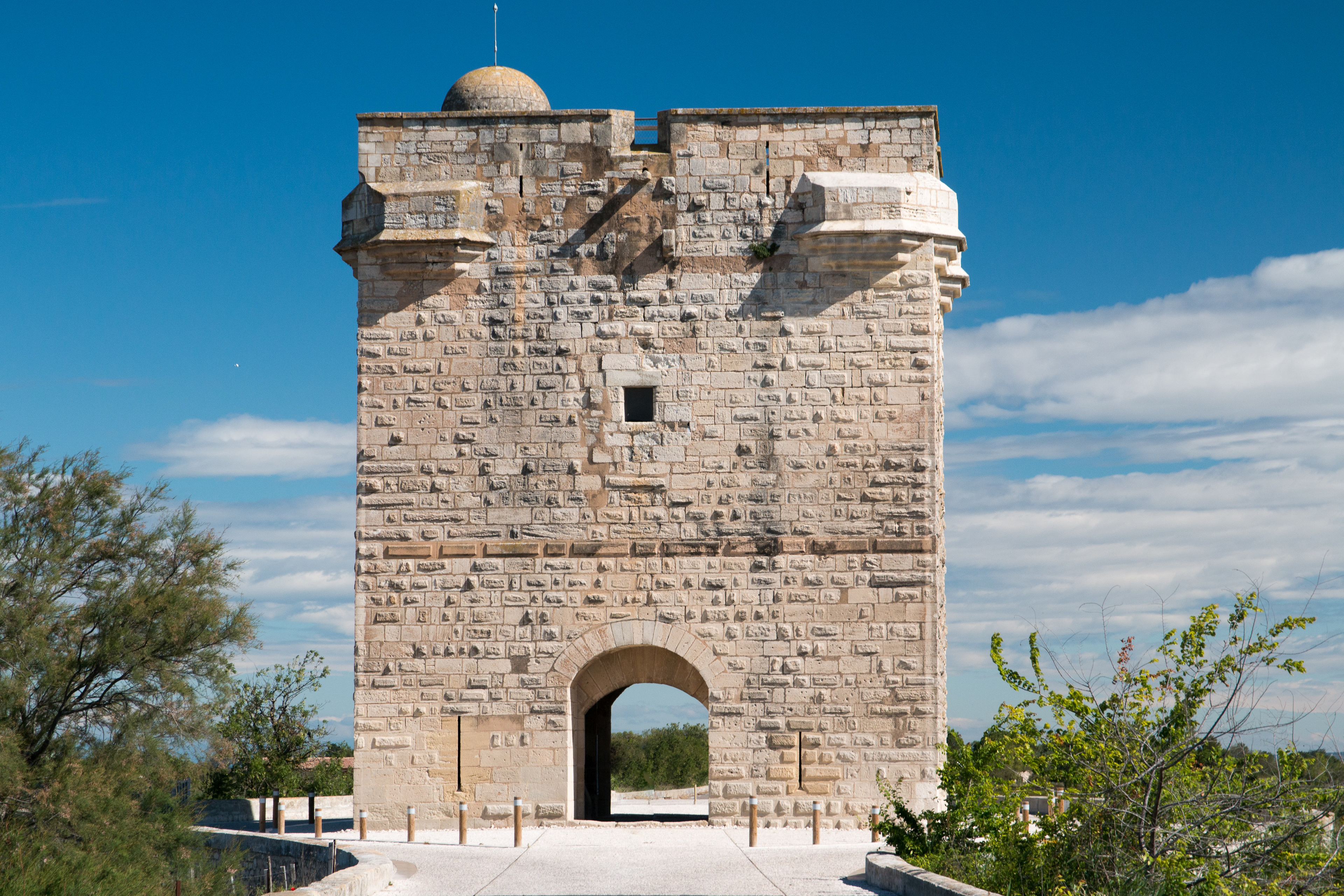
tour Carbonnière
Aigues-Mortes, France
The Carbonnière tower (French: Tour Carbonnière, Occitan: Torre Carbonièra) is a watchtower built at the end of the 13th century to protect the walled city of Aigues-Mortes, in the French department of Gard in the Occitanie region.
- Category
- Photo Spots
- Location
- Aigues-Mortes, France
- Coordinates
- 43.59210, 4.20940
- How to get there
- Google MapsApple MapsOpenStreetMap
- Wikidata
- Q3533042
What is tour Carbonnière?
tour Carbonnière is a Photo Spots place on VeroMaps. Other places close by: Phare de l'Espiguette, Pont Ambroix, Château de Montcalm, Chapelle Saint-Nazaire-de-Marissargues.
Where is tour Carbonnière?
tour Carbonnière is in Aigues-Mortes, France. Coordinates: 43.59210, 4.20940.
How do I get to tour Carbonnière?
tour Carbonnière is at Aigues-Mortes, France (43.59210, 4.20940). Enter these coordinates in Google Maps, Apple Maps or OpenStreetMap for walking, cycling or driving directions.