Urbex & Abandoned
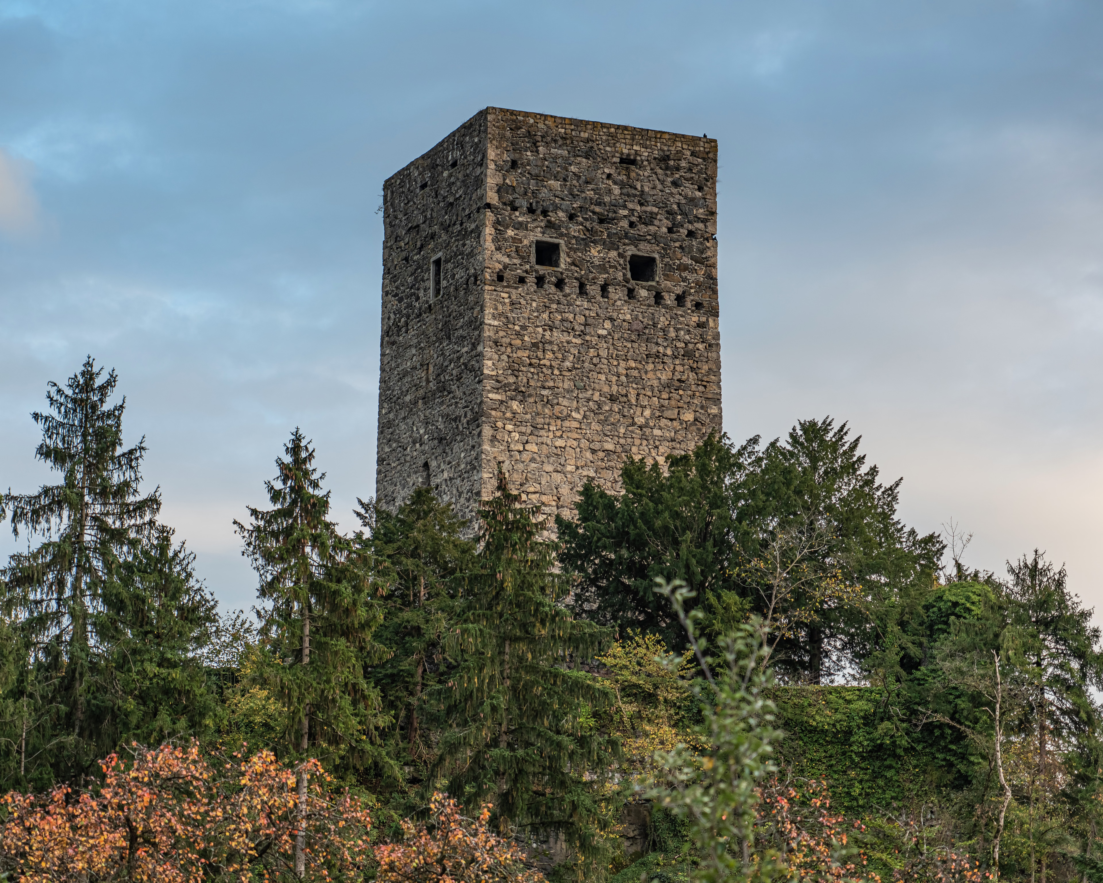
Tosters Ruin
Nofels, Austria
Die Ruine Tosters ist die Ruine einer Höhenburg auf einem, von felsigen Steilhängen begrenzten, nordseitigen Ausläufer des Schellenberges im Feldkircher Ortsteil Tosters im österreichischen Bundesland Vorarlberg.
- Category
- Urbex & Abandoned
- Location
- Nofels, Austria
- Coordinates
- 47.24250, 9.57500
- How to get there
- Google MapsApple MapsOpenStreetMap
- Wikidata
- Q2175456
What is Tosters Ruin?
Tosters Ruin is a Urbex & Abandoned place on VeroMaps. Other places close by: Schattenburg, Petronilla chapel Feldkirch, Ruin Sigberg, Kapelle Mariä Opferung.
Where is Tosters Ruin?
Tosters Ruin is in Nofels, Austria. Coordinates: 47.24250, 9.57500.
How do I get to Tosters Ruin?
Tosters Ruin is at Nofels, Austria (47.24250, 9.57500). Enter these coordinates in Google Maps, Apple Maps or OpenStreetMap for walking, cycling or driving directions.