Urbex & Abandoned
Tocov
Hradiště Military Area, Czech Republic
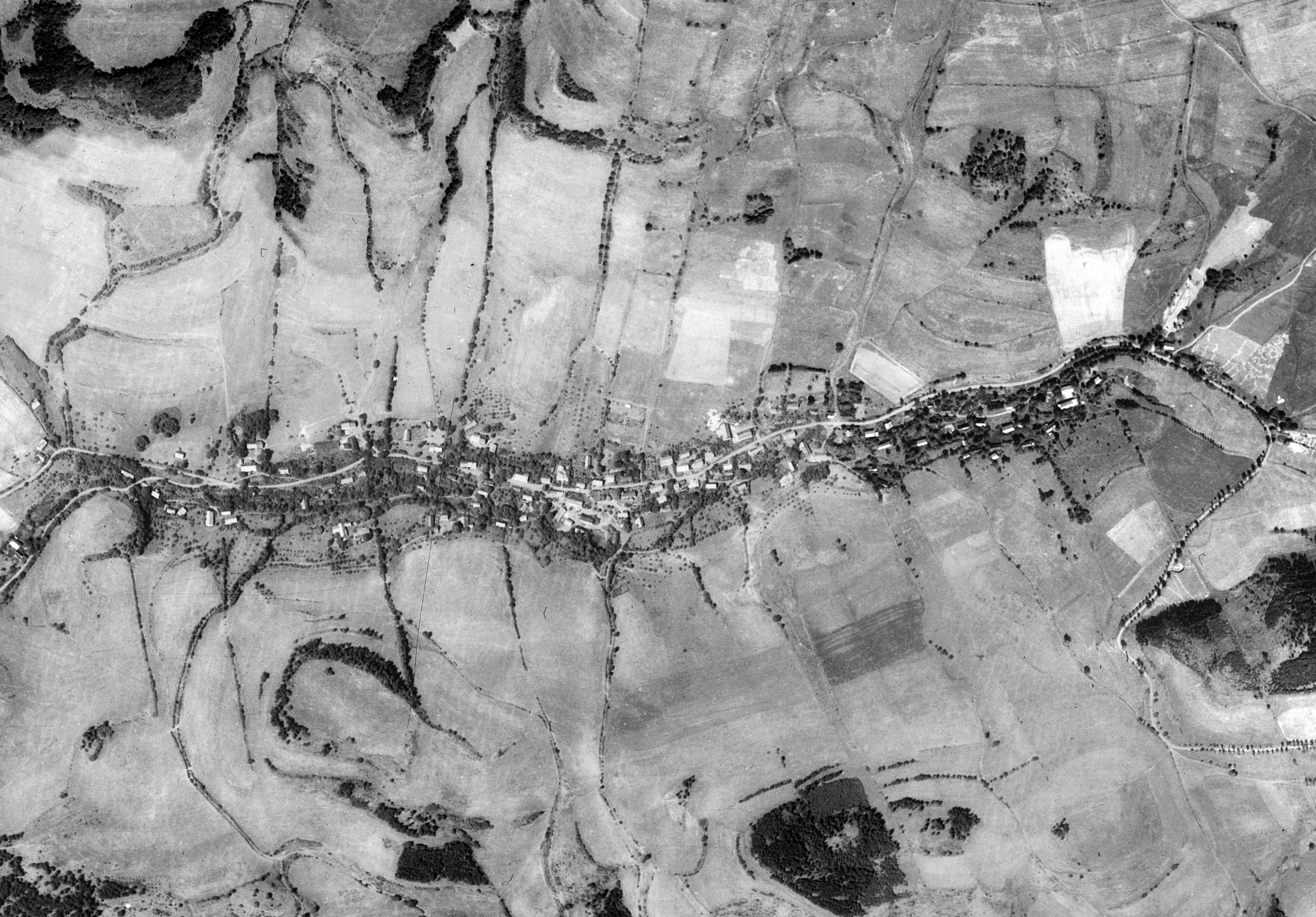
Tocov (Czech pronunciation: [ˈtotsof], German: Totzau) is an abandoned Sudeten German settlement located in the Hradiště military training area four kilometers southeast of Stráž nad Ohří. It lies in the Doupov Mountains at an altitude of 590 m on the Petrovský creek.
- Category
- Urbex & Abandoned
- Location
- Hradiště Military Area, Czech Republic
- Coordinates
- 50.30720, 13.08280
- How to get there
- Google MapsApple MapsOpenStreetMap
- Wikidata
- Q12059121
What is Tocov?
Tocov is a Urbex & Abandoned place on VeroMaps. Other places close by: Lappersdorf, Ranzengrün, Himlštejn Castle, Ober Lomitz.
Where is Tocov?
Tocov is in Hradiště Military Area, Czech Republic. Coordinates: 50.30720, 13.08280.
How do I get to Tocov?
Tocov is at Hradiště Military Area, Czech Republic (50.30720, 13.08280). Enter these coordinates in Google Maps, Apple Maps or OpenStreetMap for walking, cycling or driving directions.