Photo corners
Three Countries Bridge
Huningue, France
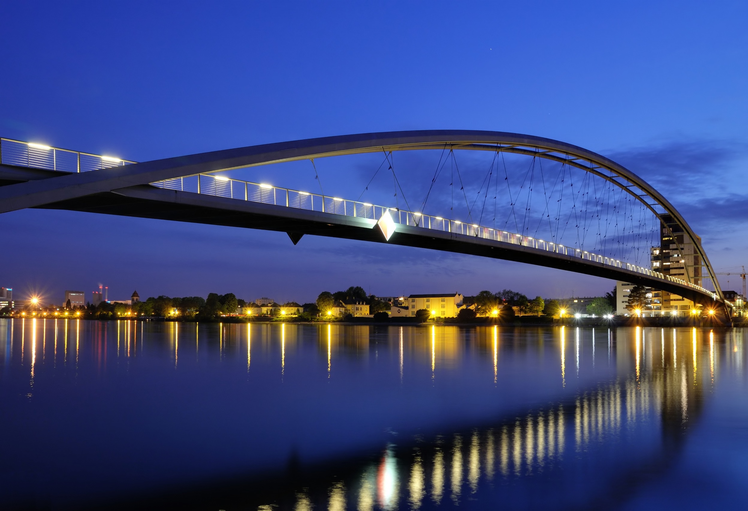
The Three Countries Bridge (German: Dreiländerbrücke, French: La passerelle des Trois Pays) is an arch bridge which crosses the Rhine between the commune of Huningue (France) and Weil am Rhein (Germany), within the Basel (Switzerland) metropolitan area. It is the world's longest single-span bridge dedicated exclusively to carrying pedestrians and cyclists. Its overall length is 248 metres (813 ft 8 in) and its main span is 229.4 metres (752 ft 7 in). Its name comes from the bridge's location between France, Germany and Switzerland (which is about 200 metres (660 ft) distant). It was designed by the Franco-Austrian architect Dietmar Feichtinger.
- Category
- Photo Spots
- Location
- Huningue, France
- Coordinates
- 47.59167, 7.59028
- How to get there
- Google MapsApple MapsOpenStreetMap
- Wikidata
- Q205682
What is Three Countries Bridge?
Three Countries Bridge is a Photo Spots place on VeroMaps. Other places close by: Wasserturm Friedlingen, Castle Friedlingen, Schlaich Tower, Vitra Slide Tower.
Where is Three Countries Bridge?
Three Countries Bridge is in Huningue, France. Coordinates: 47.59167, 7.59028.
How do I get to Three Countries Bridge?
Three Countries Bridge is at Huningue, France (47.59167, 7.59028). Enter these coordinates in Google Maps, Apple Maps or OpenStreetMap for walking, cycling or driving directions.