Night Life
The Railway
Oxford, United Kingdom
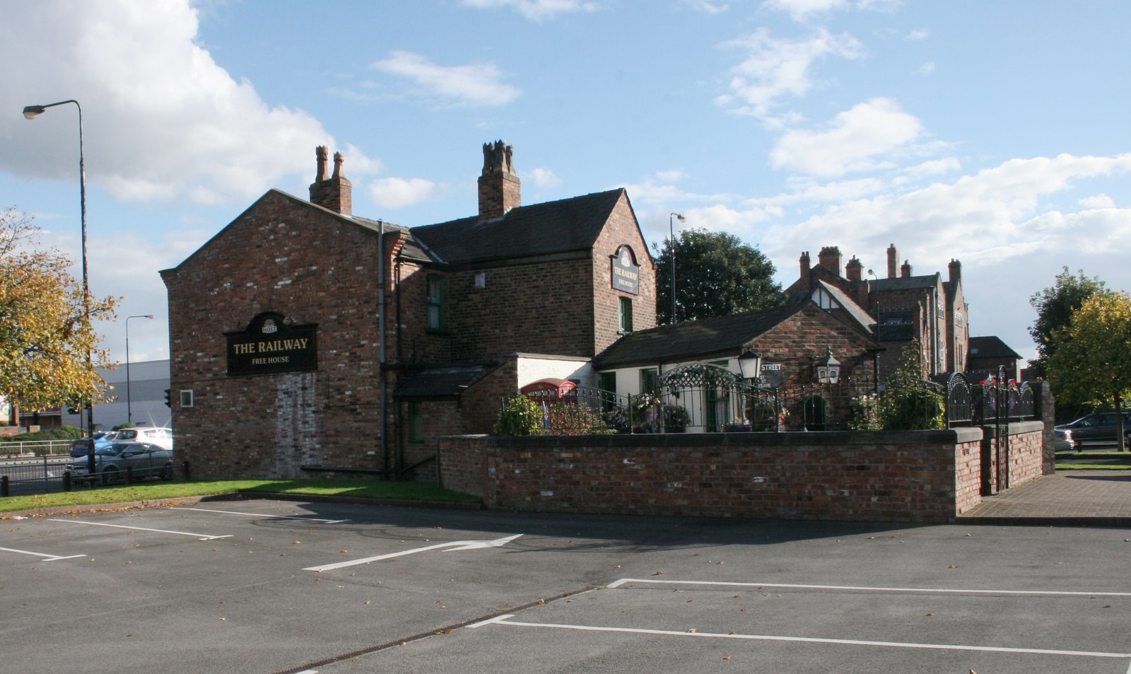
The Railway is a Grade II listed former public house on Manchester Road in Broadheath, a suburb of Altrincham in Trafford, Greater Manchester, England. Built in the mid-19th century, it once stood in a row of cottages on the A56 but now survives as a solitary building beside Altrincham Retail Park. Its interior, regarded by the Campaign for Real Ale (CAMRA) as of "outstanding national historic importance", retains much of its original layout and fittings. The pub closed in 2024 after a police raid and licensing action, and as of October 2026 its future remains unclear.
- Category
- Night Life
- Location
- Oxford, United Kingdom
- Coordinates
- 53.39966, -2.35277
- How to get there
- Google MapsApple MapsOpenStreetMap
- Wikidata
- Q17747083
What is The Railway?
The Railway is a Night Life place on VeroMaps. Other places close by: Old Market Tavern, The Orange Tree Inn, Birch Moss Covert Nature Reserve, The Sale.
Where is The Railway?
The Railway is in Oxford, United Kingdom. Coordinates: 53.39966, -2.35277.
How do I get to The Railway?
The Railway is at Oxford, United Kingdom (53.39966, -2.35277). Enter these coordinates in Google Maps, Apple Maps or OpenStreetMap for walking, cycling or driving directions.