Night Life
The Palm Tree
London, United Kingdom
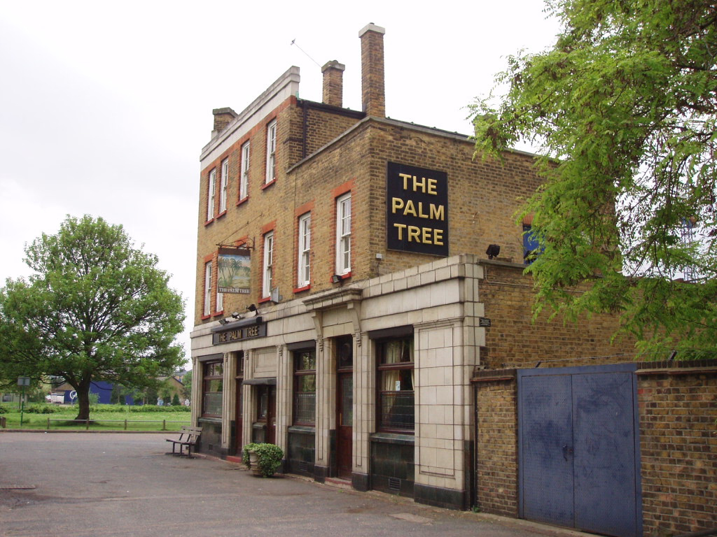
The Palm Tree is a Grade II listed public house at 127 Grove Road, Mile End, and is within Mile End Park. It was built in 1935 for Truman's Brewery and designed by Eedle and Meyers.
- Category
- Night Life
- Location
- London, United Kingdom
- Address
- 24-26 Haverfield Road, London
- Coordinates
- 51.52916, -0.04072
- How to get there
- Google MapsApple MapsOpenStreetMap
- Wikidata
- Q21008686
What is The Palm Tree?
The Palm Tree is a Night Life place on VeroMaps, on 24-26 Haverfield Road. Other places close by: Lord Tredegar Public House, Black Horse Public House, Salmon and Ball, Bow Quarter.
Where is The Palm Tree?
The Palm Tree is in London, United Kingdom. Coordinates: 51.52916, -0.04072.
How do I get to The Palm Tree?
The Palm Tree is at 24-26 Haverfield Road, London, United Kingdom (51.52916, -0.04072). Enter these coordinates in Google Maps, Apple Maps or OpenStreetMap for walking, cycling or driving directions.