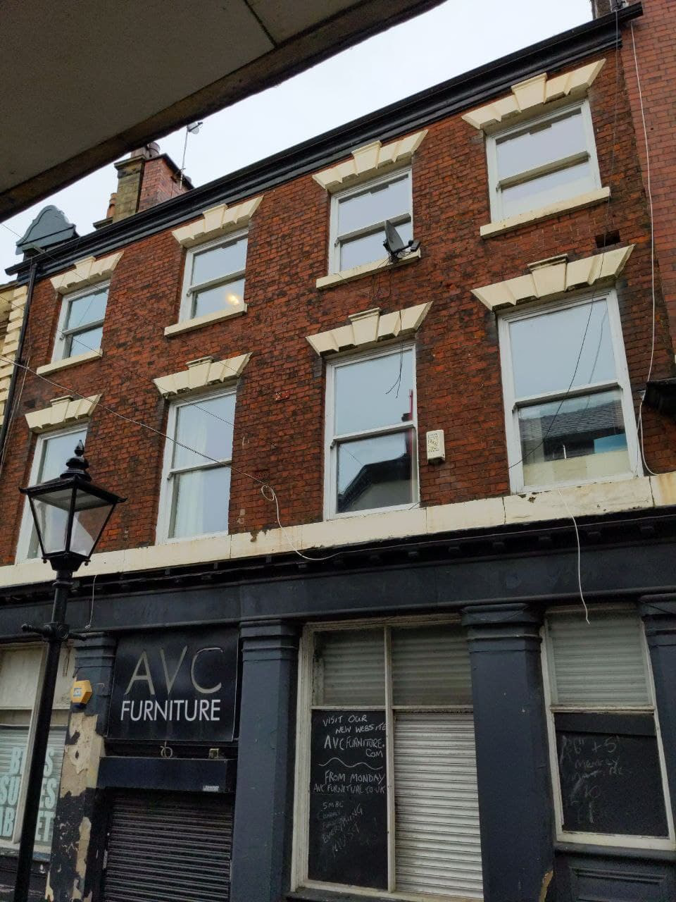
Night Life
The Kings Arms Public House
Stockport, United Kingdom
The King's Arms is a Grade II listed former public house on Bridge Street Brow in Stockport, Greater Manchester, England. Built in the early to mid-19th century, it is thought to have replaced an earlier inn called The Greyhound. It was known locally as The Hole in the Wall in the 1840s.
- Category
- Night Life
- Location
- Stockport, United Kingdom
- Coordinates
- 53.41198, -2.15755
- How to get there
- Google MapsApple MapsOpenStreetMap
- Wikidata
- Q26320038
What is The Kings Arms Public House?
The Kings Arms Public House is a Night Life place on VeroMaps. Other places close by: Bakers Vaults Public House, Boar's Head, Bulls Head Public House, 10-12 Little Underbank.
Where is The Kings Arms Public House?
The Kings Arms Public House is in Stockport, United Kingdom. Coordinates: 53.41198, -2.15755.
How do I get to The Kings Arms Public House?
The Kings Arms Public House is at Stockport, United Kingdom (53.41198, -2.15755). Enter these coordinates in Google Maps, Apple Maps or OpenStreetMap for walking, cycling or driving directions.