Night Life
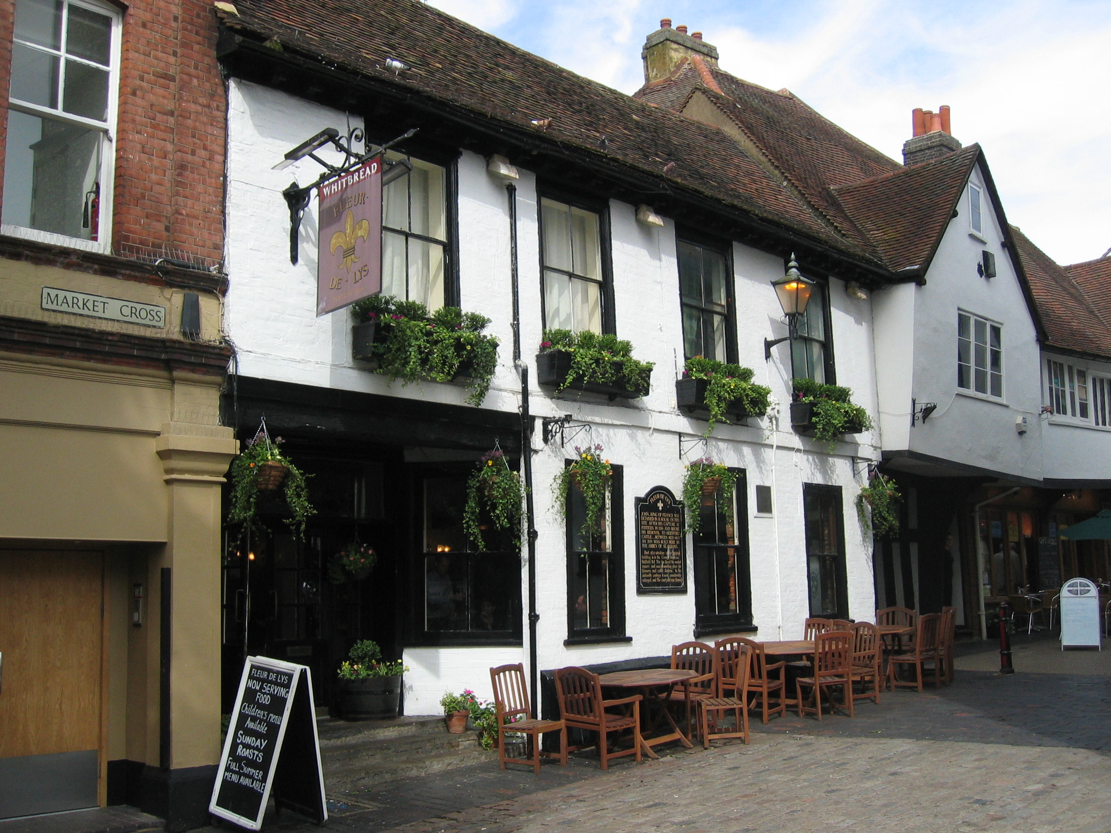
The Fleur De Lis Public House
London, United Kingdom
The Fleur de Lys (or Lis) was a public house in French Row, St Albans, Hertfordshire, England. The building has an C18th brick facade, but it dates from the Middle Ages and is listed grade II with Historic England. The building was refurbished and renamed The Snug in 2007, to become part of the Snug bar chain.
- Category
- Night Life
- Location
- London, United Kingdom
- Coordinates
- 51.75145, -0.34077
- How to get there
- Google MapsApple MapsOpenStreetMap
- Wikidata
- Q26630624
What is The Fleur De Lis Public House?
The Fleur De Lis Public House is a Night Life place on VeroMaps. Other places close by: The Old King's Arms, Verulam House, Hare And Hounds Public House, The Blue Anchor.
Where is The Fleur De Lis Public House?
The Fleur De Lis Public House is in London, United Kingdom. Coordinates: 51.75145, -0.34077.
How do I get to The Fleur De Lis Public House?
The Fleur De Lis Public House is at London, United Kingdom (51.75145, -0.34077). Enter these coordinates in Google Maps, Apple Maps or OpenStreetMap for walking, cycling or driving directions.